Zum Inhalt springen
TravelHub
Leben

North Shore: Reiseführer, Preise und kostenlose Unterkunft · 2026

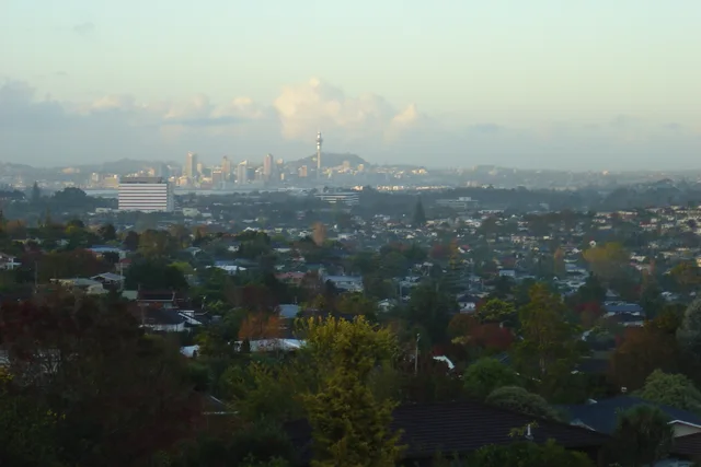
The North Shore is one of the major geographical regions of Auckland, the largest city in New Zealand. The area is defined as the northern shores of the Waitematā Harbour as far north as the Ōkura River.

North Shore, New Zealand · CC BY-SA 4.0

Karte der Orte
Aktuell in der StadtNorth Shore+16 °CBewölkt · Sonnenuntergang 19:55aktualisiert 06:22
EinreiseWähle einen ReisepassDie Antwort hängt vom Reisepass ab.
Orte auf der Karte5
Wechselkurs1,78 $pro 1 $NZD — die LandeswährungStand: 02.11.2026
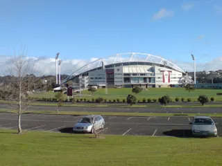
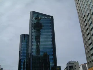
North Shore in Bildern6 Fotos
Follash · pdm · 12.05.2005
Ingolfson · pdm · 01.03.2008
Simon_sees from Australia · cc-by-2.0 · 31.07.2012
Prosperosity · cc-by-4.0 · 07.08.2023

Anreise und Unterkunft

2 Quellen · Stand: 3. November 2026
Quelle: TravelHub · OurAirports (public domain)

Visum und Praktisches

Wählen Sie einen Reisepass

Wählen Sie Ihren Reisepass — Bearbeitungszeit, Gebühren und Dokumente variieren je nach Reisepass.

Sicherheit und Gesundheit

Sicherheit · Offizielle HinweiseDatenstand: 03.11.2026
Britisches Außenministerium (FCDO)Keine EinschränkungenKeine Reisebeschränkungen in Kraft.
Vollständiger Text der Reisehinweise (Englisch)

Updated information about global travel impacts due to escalation in the Middle East (‘Warnings and insurance’ page).

US-AußenministeriumStufe 1Übliche Vorsicht genügt – keine besonderen Maßnahmen.
Vollständiger Text der Reisehinweise (Englisch)

Exercise normal precaution in New Zealand . New Zealand is generally a safe destination for travelers. Review our travel guidance for New Zealand to learn how to prepare for a safe trip.

Quelle: UK FCDO Foreign Travel Advice · US Department of State Travel Advisory

Anreise

AnreiseOurAirports (public domain)
Auckland International Airport AKL24 km vom Zentrum
Whangarei Airport WRE120 km vom Zentrum
Hamilton International Airport HLZ129 km vom Zentrum

Menschen, die hier waren

Dariamiata_breath · Lesen
The most beautiful places on the island (continued)

It was nearing lunchtime, so for the umpteenth time, we stopped at McDonald's, where we decided to go see the rock with a hole in it—the historical name of which no one remembered. Now I know it's Laie Point. Our next stop was one of the beaches on the North Shore (the northern coast of Oahu island), where there's a great fifteen-meter cliff you're supposed to jump off. I didn't jump, but I watched :)))) On the North Shore (that's exactly how it's pronounced as one word), we swam a lot, and the guys even went snorkeling (though, in my opinion, there's nothing interesting there in that regard). Then we played under the shower and drove on. We drove for a long time in a direction unknown to me (most likely circling the island from the west side) until beautiful yellow fields appeared. It turned out to be the world's largest Dole pineapple plantations. Did you know that 80% of pineapples are grown in Hawaii?? That's why we decided we couldn't leave without them and sent Sashka to steal some "from the patch." While he was choosing, I took photos with a rainbow, which is officially the symbol of the Aloha State. It's no wonder Hawaii is also called the "over the rainbow" state. Our final stop was the remote Ewa Beach, where we watched the sunset and ate pineapples. That's how one of the brightest days of my 2.5 months in Hawaii ended. At night, we returned to one of the beaches, lounged on the sand, and walked along the shore, but no one took photos of that.... ;)

  • Foto aus einem Beitrag von Daria
  • Foto aus einem Beitrag von Daria
  • Foto aus einem Beitrag von Daria+1
1Beitrag von einem Teilnehmenden über North Shore — von Unterkunft und Visa bis hin zu Wochenendrouten.Alle lesen

Länger bleiben im Rahmen eines Programms

Work and Travel, Praktika, Au-pair und Freiwilligenarbeit in Neuseeland: Visum, Einladung und Unterstützung vor Ort werden von CMO International Programmes abgewickelt.

1Programm im Land

Ort nicht gefunden? Die Suche versteht jede Sprache. Suche öffnen