
Vivre
Thanh Hóa: Guide de voyage, prix et hébergement gratuit · 2026
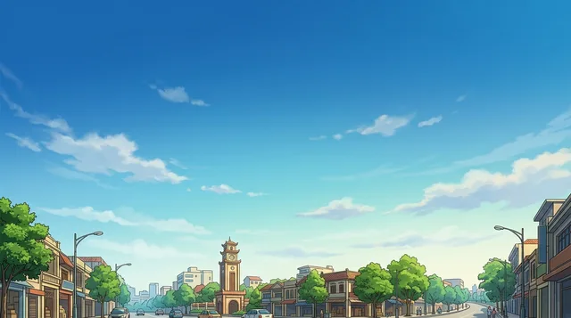
Thanh Hóa is the capital of Thanh Hóa Province. The city is situated in the east of the province on the Ma River, about 150 kilometers south of capital Hanoi and 1560 kilometers north of Ho Chi Minh City.
Actuellement sur placeThanh Hóa+30 °Cmis à jour 11:02
EntréeChoisissez un passeport
Lieux sur la carte2
Taux de change25 743,91 ₫au 2 nov. 2026
Arriver et se loger
2 sources · Au 4 novembre 2026
Source : TravelHub · OurAirports (public domain)
Visa et aspects pratiques
Choisir un passeport
Définissez votre passeport — les délais de traitement, les frais et les documents requis diffèrent selon le passeport.
Sécurité et santé
Séjournez plus longtemps grâce à un programme
Work and Travel, stages, au pair et bénévolat en Viêt Nam : le visa, l'invitation et le soutien sur place sont gérés par les programmes internationaux CMO.

3
3
mis à jour le 3 août 2026
Travail
Saisonété, toute l'annéeLangueAnglais · B2Rentabilitépartially paid back
workandtravel.com
mis à jour le 10 juin 2026
Stage
Saisontoute l'annéeLangueAnglais · B2Rentabilitépartially paid back
workandtravel.com
volunteeringmis à jour le 12 mars 2026
Volunteer Programs in Asia
Saisontoute l'annéeLangueAnglais · B2
workandtravel.com
Villes de Viêt Nam
Pays à proximité
Questions fréquentes sur Thanh Hóa
Vous ne trouvez pas la destination souhaitée ? La recherche prend en charge toutes les langues. Ouvrir la recherche