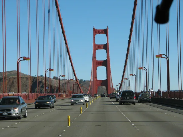
 à ≈ 1 hpont du Golden Gate
- Distance
- 5 km
 TravelHub
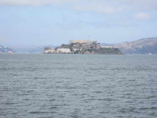
Touring the island requires ferry passage across the bay, where freezing waters and swift currents shaped an infamous fortress.
Juan Manuel de Ayala first mapped the island in the bay during Spanish exploration, mistaking the native birds for pelicans. By the middle of the nineteenth century, federal authorities fortified the rock with artillery batteries to safeguard coastal entries, while also erecting the earliest operational navigational beacon on the Pacific shoreline.
The compound shifted from a coastal citadel to a federal penitentiary designed for high-security detention. Escapes proved virtually impossible against freezing water temperatures and treacherous currents across the strait. Civilian authorities eventually shuttered the cellhouse, leaving the structures preserved for public transport access and historical tours.
Ce que les visiteurs écrivent sur Google Maps
La note et les avis récents de Google Maps se chargent à la demande.
à ≈ 1 hpont du Golden Gate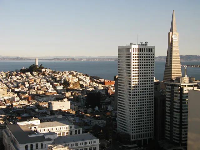 à ≈ 50 minTransamerica Pyramid
 à ≈ 55 minUnion Square
Vous ne trouvez pas la destination souhaitée ? La recherche prend en charge toutes les langues. Ouvrir la recherche