
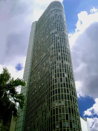



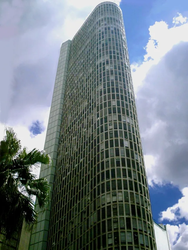
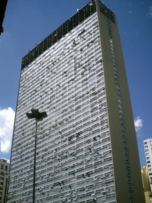
 à ≈ 10 minEdifício Itália
- Distance
- 600 m
 TravelHub
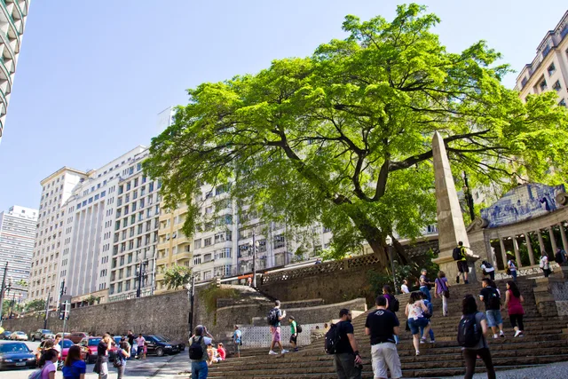
Residents settling near Anhangabaú navigate the pedestrian steps of Largo da Memória each day, trading residential quiet for the relentless foot traffic and colonial stonework of the central core.
Before paving, the triangular ravine known as Piques served as the municipal border where muleteers halted cargo animals arriving from inland routes. Drovers watered livestock and filled domestic jars at the roadside spring. The space also functioned as an open-air auction market for enslaved individuals every Saturday, making the crossing a primary commercial junction between the colonial town and interior settlements.
Colonial authorities commissioned military engineer Daniel Pedro Müller to construct an access road, a retaining wall, and a formal fountain house fed by municipal basins. Master mason Vicente Gomes Pereira carved the central obelisk from leftover ashlar, producing the first civic monument in the settlement. The stone pillar signalled that the town was expanding beyond its initial origins as an isolated missionary outpost.
A preserved native fig tree survived on the slope despite municipal demolition plans during later transit expansion. Architects Victor Dubugras and José Wasth Rodrigues subsequently remodeled the grounds in a neocolonial design for the national independence centenary. Their intervention preserved the colonial obelisk while integrating decorative wall tiles, pedestrian staircases, and stone retention basins along the valley edge.
Ce que les visiteurs écrivent sur Google Maps
La note et les avis récents de Google Maps se chargent à la demande.
à ≈ 10 minEdifício Itália à ≈ 10 minAltino Arantes
 à ≈ 10 minMirante do Vale
Vous ne trouvez pas la destination souhaitée ? La recherche prend en charge toutes les langues. Ouvrir la recherche