 A ≈ 20 min de distanciaM&T Bank Stadium
- Distancia
- 1,5 km
 TravelHub
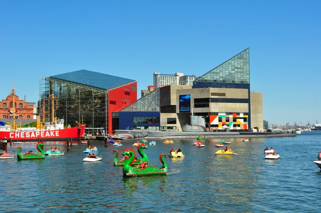
Baltimore keeps its primary public collections right on the central docks, turning the water basin into an everyday walking corridor for long-term residents.
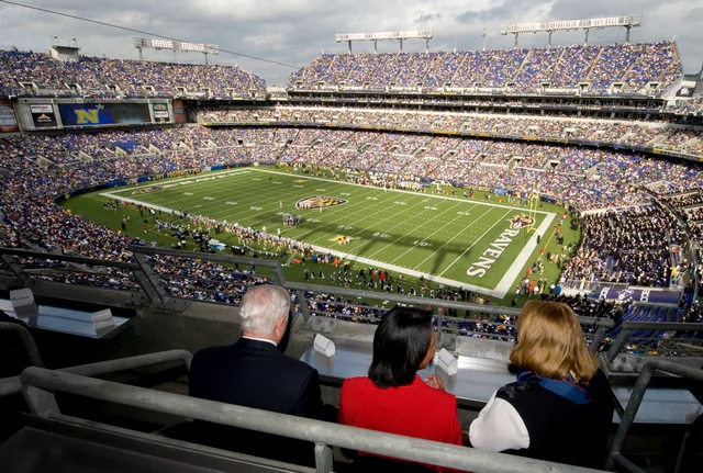
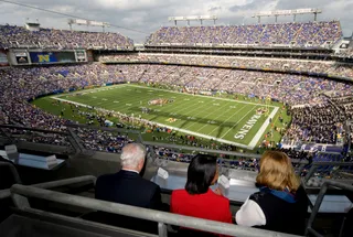 M&T Bank Stadium
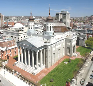 Basilica of the National Shrine of the Assumption of the Blessed Virgin Mary
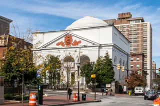 First Unitarian Church
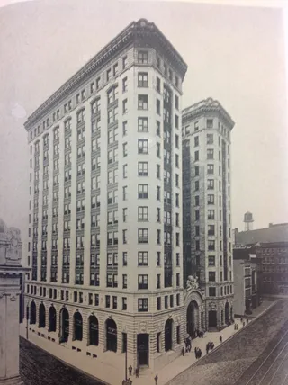 Franklin Street Presbyterian Church and Parsonage
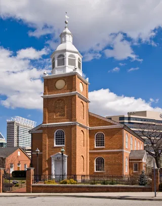 Old Otterbein United Methodist Church
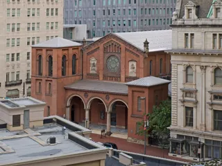 Saint Pauls Episcopal Church
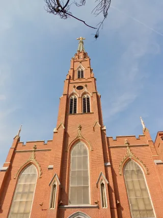 St. Alphonsus' Church, Rectory, Convent and Halle
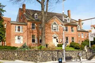 St. Paul's Church Rectory
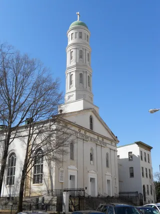 St. Vincent de Paul Church
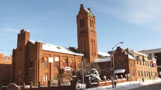 Zion Lutheran Church
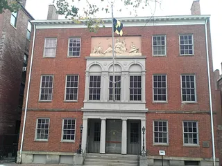 Peale Museum
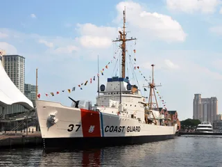 USCGC Taney
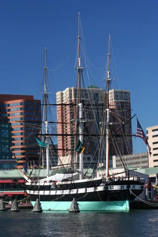 USS Constellation
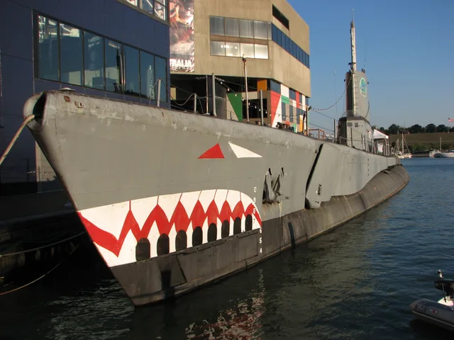
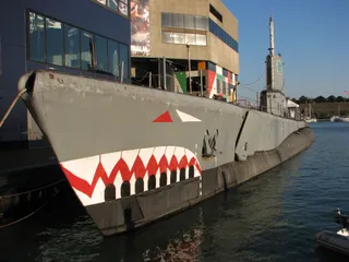 USS Torsk
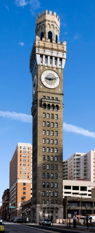 Bromo Seltzer Arts Tower
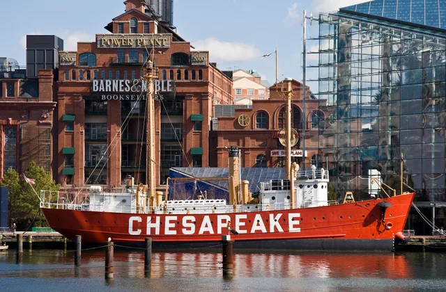
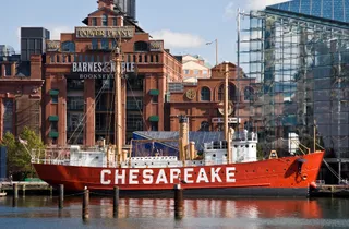 Chesapeake
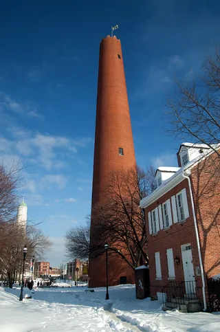 Phoenix Shot Tower
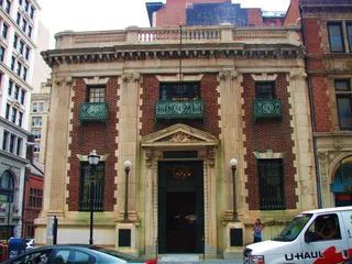 Alex. Brown & Sons Building
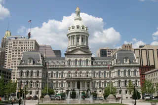 Baltimore City Hall
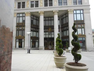 Baltimore Gas and Electric Company Building
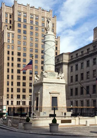 Battle Monument
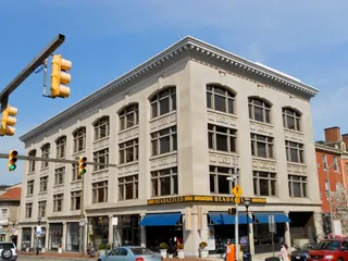 Benson Building
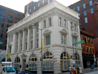 Brewers Exchange
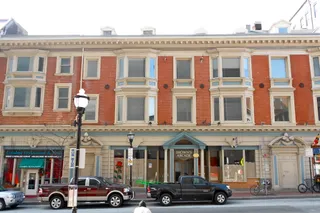 Brown's Arcade
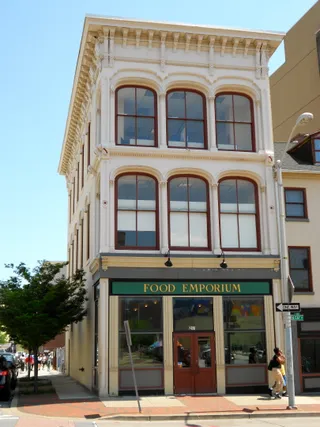 Building at 239 North Gay StreetBusiness and Government Historic District
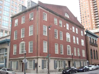 Canton House
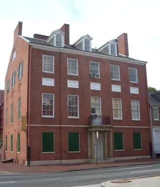 Carroll MansionCathedral Hill Historic District
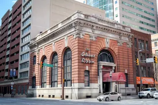 Chamber of Commerce Building
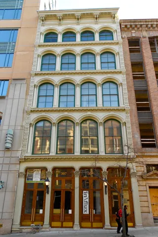 Faust Brothers Building
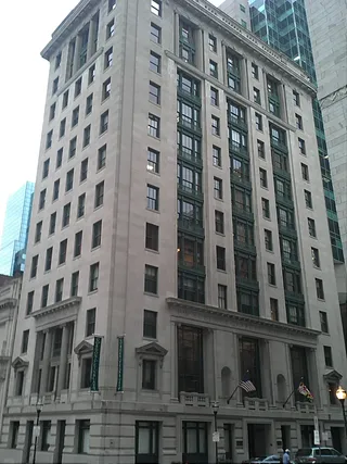 Garrett Building
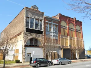 Gay Street Historic District
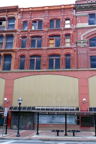 George Knipp & Brother Building
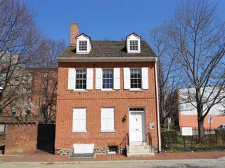 House at 9 North Front Street
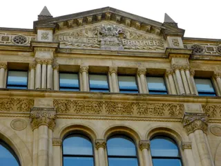 Hutzler Brothers Palace Building
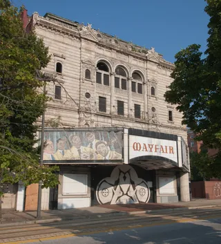 Market Center
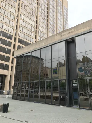 Mercantile Deposit and Trust
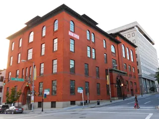 Odd Fellows Hall
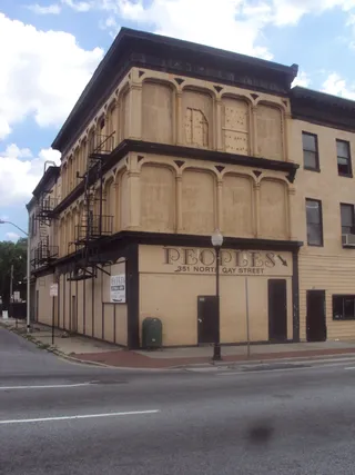 Old Town Savings Bank
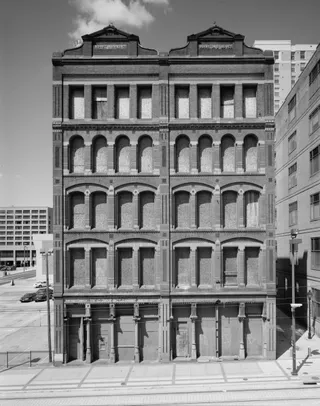 One Calvert Plaza
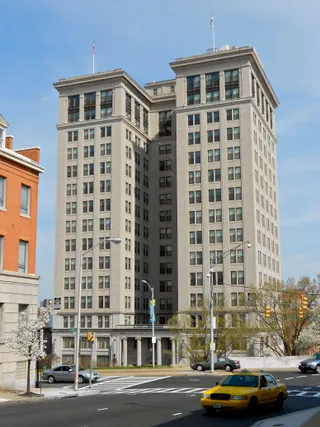 Standard Oil Building
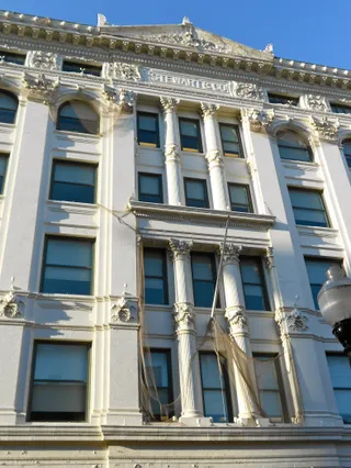 Stewart's Department StoreTerminal Warehouse
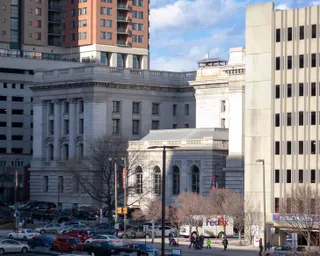 United States Custom House
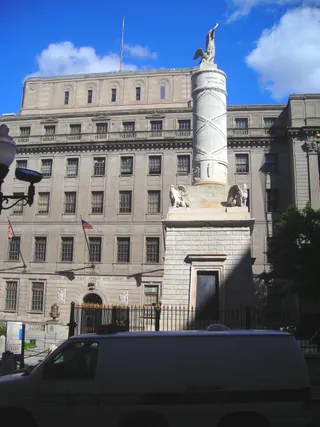 United States Post Office and Courthouse
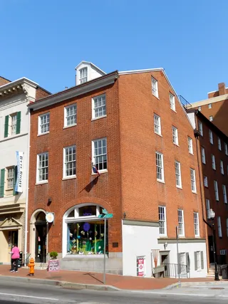 Woman's Industrial Exchange
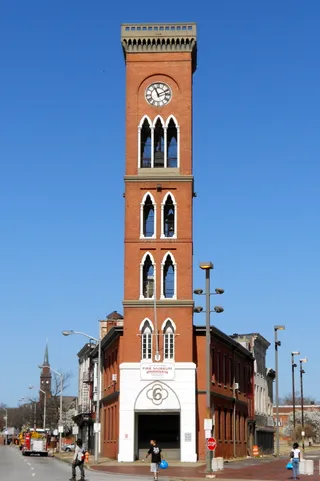 Engine House No. 6
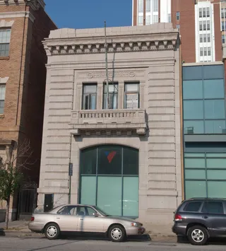 Paca Street Firehouse
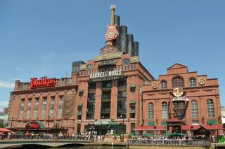 Pratt Street Power Plant
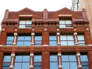 Rombro Building
Baltimore maintains the National Aquarium as a major public waterfront destination. Several separate institutions share this designation internationally, making local context central to identification. Daily life around the Inner Harbor piers brings regular visitor pedestrian traffic right past downtown office workers and commuter paths.
Settling into the surrounding district exposes residents to the realities of a working urban basin. Footpaths fill during seasonal influxes, while off-peak weekdays return the promenades to quiet waterfront access. Anyone establishing routines nearby must navigate tourist queues and regulated dockside pedestrian flow during daytime hours.
Lo que escriben los visitantes en Google Maps
La valoración y las reseñas recientes de Google Maps se cargan a petición.
¿No encuentras el lugar que necesitas? La búsqueda entiende cualquier idioma. Abrir búsqueda