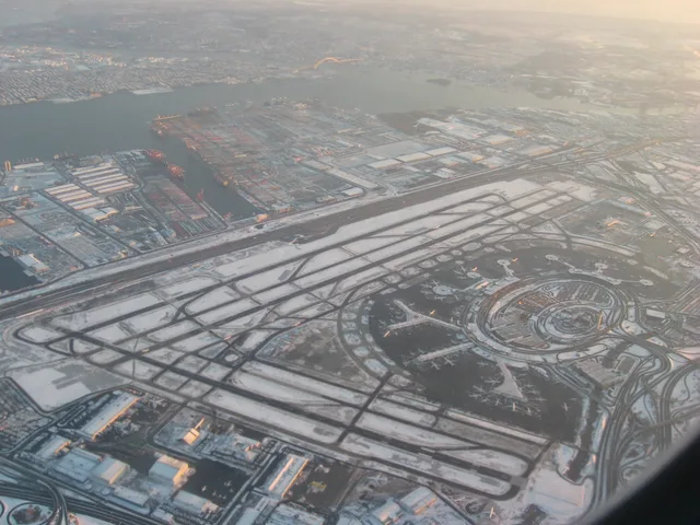
 Aeropuerto Internacional Libertad de Newark
- Distancia
- 167 km
 TravelHub
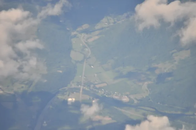
Living along the waterway means planning around natural boundaries, where crossing between states requires navigating specific bridge corridors rather than standard city grids.
 Museo Metropolitano de Arte
 Wall Street
 Casa Blanca
 World Trade Center
 Puente de Brooklyn
 Central Park
 Empire State Building
 puente Golden Gate
 Aeropuerto Internacional John F. Kennedy
 Estatua de la Libertad
 El Pentágono
 Sears Tower
 Museo Brooklyn
 Getty Center
 Museo J. Paul Getty
 Museo de Arte Moderno
 Museo Solomon R. Guggenheim
 Zoológico del Bronx
 Arco Gateway
 Lumen Field
 Mercedes-Benz Stadium
 Estadio Reliant
 United Center
 Broadway
 Sede de la Organización de las Naciones Unidas
 Rockefeller Center
 World Trade Center 7
 875 North Michigan Avenue
 Museo Americano de Historia Natural
 Aon Center
 Instituto de Arte de Chicago
 AT&T Stadium
 Bank of America Tower
 Capital One Arena
 Carnegie Hall
 Edificio Chrysler
 Coney Island
 Aeropuerto Internacional de Honolulu
 Disneyland
 Quinta Avenida
 Edificio Flatiron
 Grand Central Terminal
 Indianapolis Motor Speedway
 Aeropuerto LaGuardia
 Levi's Stadium
 Madison Square Garden
 puente de Manhattan
 Nueva Ámsterdam
 Edificio New York Times
 Aeropuerto Internacional Libertad de Newark
 One World Trade Center
 Salón de la Fama del Rock
 Space Needle
 Catedral de San Patricio de Nueva York
 Times Square
 Trump Tower
 Academia Naval de los Estados Unidos
 Woolworth Building
The Delaware River flows free of dams across eastern state boundaries, emptying out into Delaware Bay. European colonizers, including Dutch and Swedish settlers, established early trade posts along its banks, engaging with the native Lenape population before English Quaker settlements established towns like Philadelphia and Trenton.
Naval movements and crossings during the American Revolutionary War shaped national military history along these shores. Later industrial development relied heavily on constructed channels like the Delaware Division Canal and the Delaware and Raritan Canal to connect trade networks and secure water supply lines across neighboring state jurisdictions.
Aeropuerto Internacional Libertad de Newark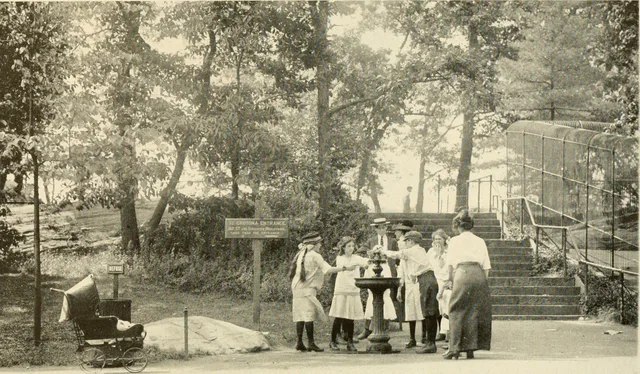 Zoológico del Bronx
 Museo Americano de Historia Natural
¿No encuentras el lugar que necesitas? La búsqueda entiende cualquier idioma. Abrir búsqueda