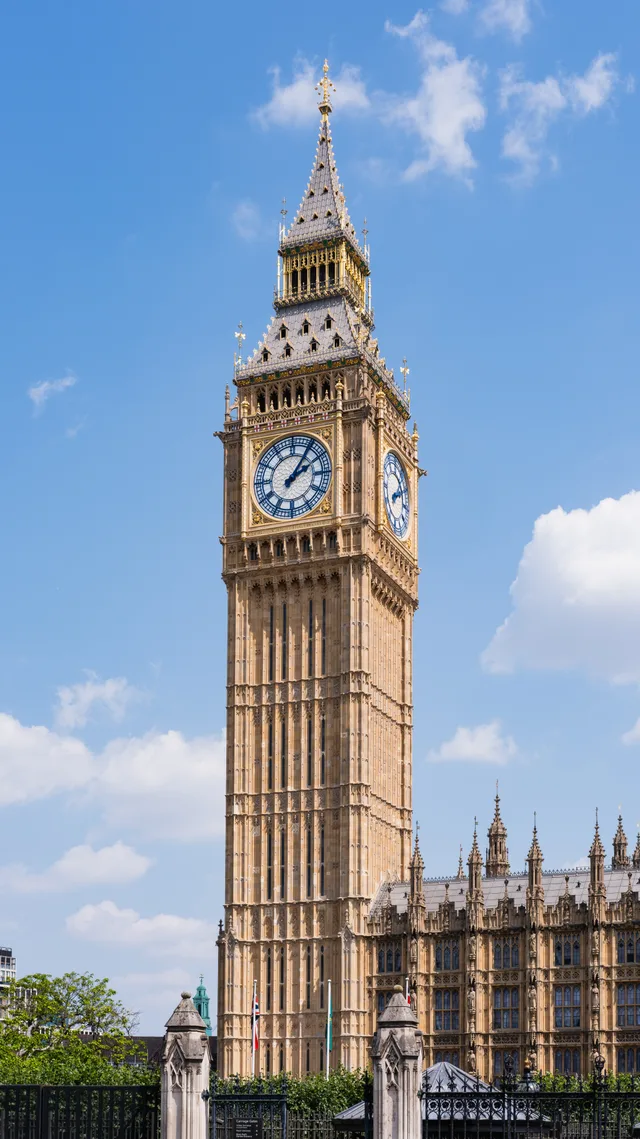
 A ≈ 10 min de distanciaBig Ben
- Distancia
- 800 m
 TravelHub
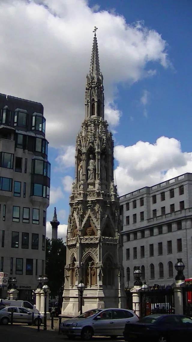
Residents living beside this junction trade quiet neighborhood life for immediate foot access to the Strand, Whitehall, and central rail lines.
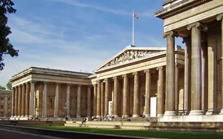 Museo Británico
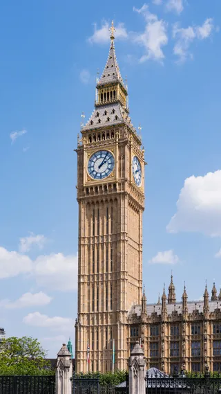 Big Ben
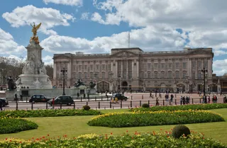 Palacio de Buckingham
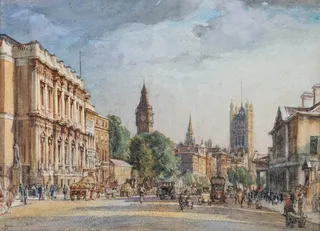 Palacio de Westminster
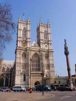 Abadía de Westminster
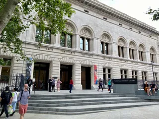 National Portrait Gallery
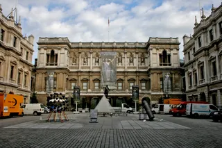 Real Academia de Artes
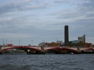 Tate Modern
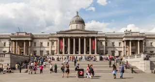 National Gallery de Londres de Londres
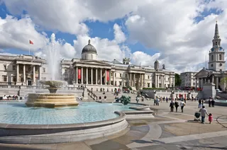 Trafalgar Square
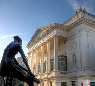 Ópera Real de Londrés
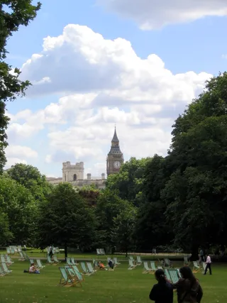 St. James’s Park
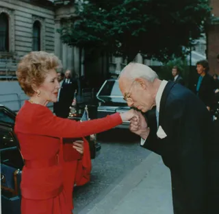 Downing Street
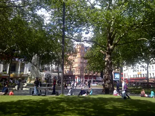 Leicester Square
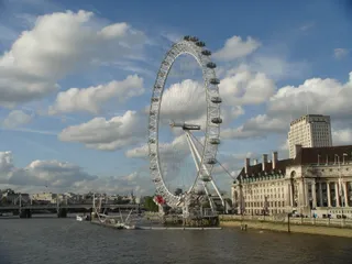 Londres Eye
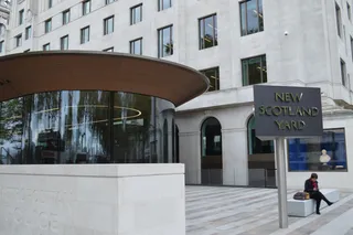 Scotland Yard
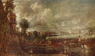 Palacio de Whitehall
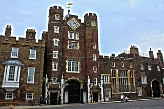 Palacio de St. James
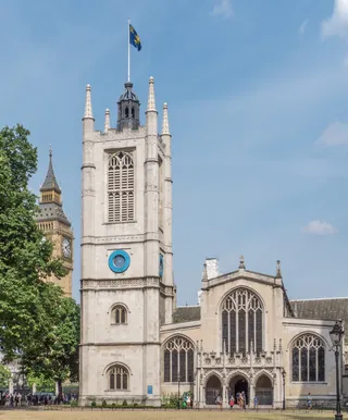 iglesia de Santa Margarita
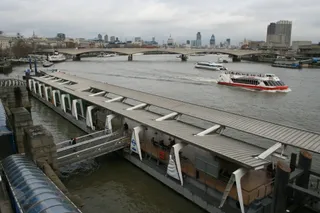 puente de Waterloo
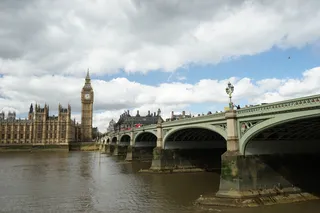 Westminster Bridge
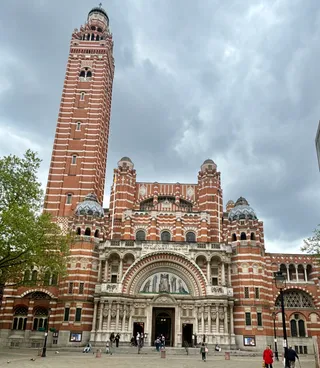 Catedral de la Preciosísima Sangre de Cristo de Westminster
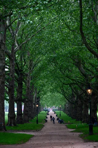 Green Park
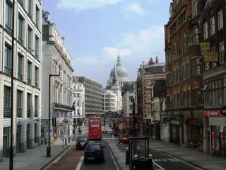 Fleet Street
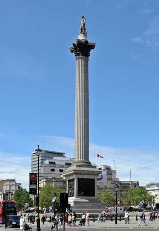 Columna de Nelson
 Piccadilly
The junction in Westminster functions as the official datum point for measuring highway distances from the capital. Major routes radiate from the meeting point toward Whitehall, the Strand, The Mall, and Trafalgar Square. Foot travellers moving through the area encounter heavy pedestrian flow between nearby underground stops, the mainline railway terminal, and the pedestrian bridges crossing toward Waterloo.
The locality takes its name from an Old English word for a river bend along the Thames. King Edward commissioned the original memorial cross to honour Queen Eleanor of Castile, though Parliamentarian forces demolished the medieval stone structure during the Civil War. A Victorian replica stands in the station forecourt facing the Strand, while an equestrian statue of King Charles occupies the original cross site.
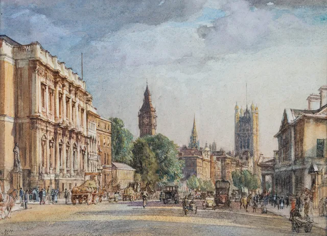
Historical conflicts and urban redevelopment repeatedly altered the surrounding streetscape. The junction was the scene of the concluding clash of the rebellion led by Thomas Wyatt against Queen Mary. Land formerly held by the medieval hospital of Saint Mary Rounceval later accommodated Northumberland House, which urban planners eventually cleared to construct the wide avenue connecting the intersection to the river embankment.
Aún no hay anfitriones de alojamiento gratuito aquí; la ciudad más cercana que los tiene:
ParísLo que escriben los visitantes en Google Maps
La valoración y las reseñas recientes de Google Maps se cargan a petición.
A ≈ 10 min de distanciaBig Ben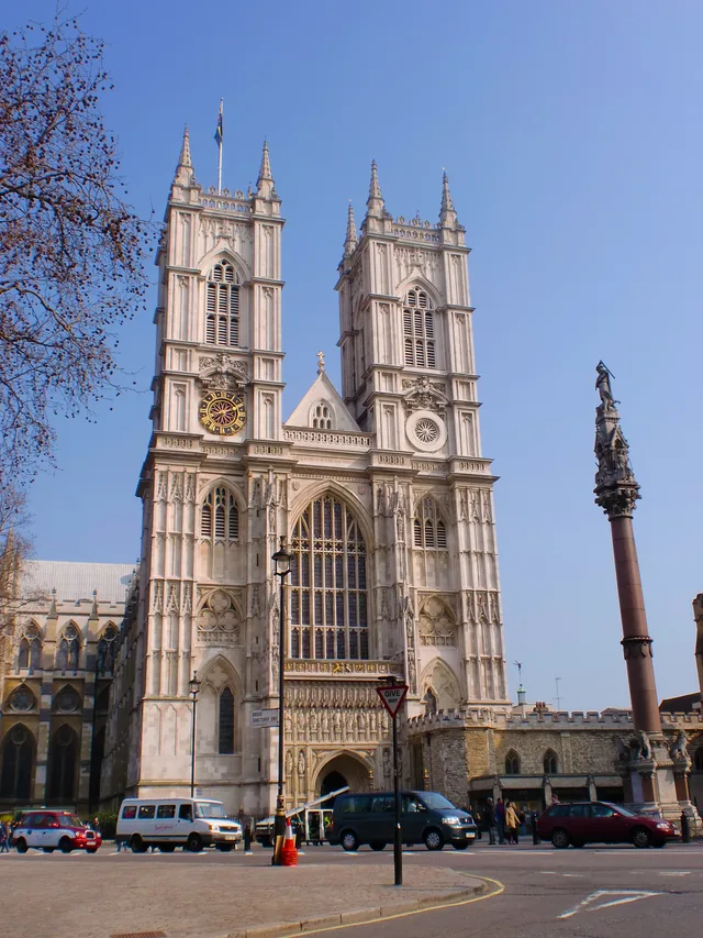 A ≈ 15 min de distanciaAbadía de Westminster
¿No encuentras el lugar que necesitas? La búsqueda entiende cualquier idioma. Abrir búsqueda