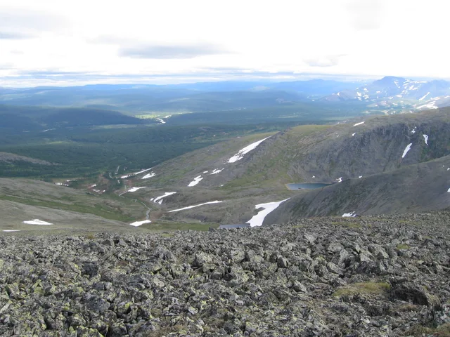



Ira left for Egypt almost a week ago to relax and meet up with her mom. Stas and Kirill were working, so the four of us—Nick, Katya, Kristina, and I—were planning to climb the mountain. But Kristina was out partying with friends until late last night and didn't get home until 5:30 AM. And Katya got moody, saying the summit was covered in clouds and visibility would be poor. In the end, Nick and I set off to conquer it on our own. It's interesting, I write "summit in the clouds"... What can one understand from that phrase? After all, summits veiled in clouds over different mountains in different parts of the world look different. For example, on the Perya or Kruglytsa mountains in Taganay, Zlatoust—our Ural mountains, which are not inferior in height to many local ones—I have never seen such a "summit in the clouds" as I often observe on Table Mountain, Devil’s Peak, and the Twelve Apostles mountains (in the photo on the right). Ours are... somehow different. Not better, not worse, but in their own way. And how is it here? Every time I manage to see this miracle, I associate it with a giant paw made of clouds. This paw is often below the summit. The cloud drifts, crashes into the mountain, rises, rounds it, sliding down a bit with a light but viscous mass—to the altitude from which it drifted—and, as if nothing happened, continues to move on. An incredible sight! Today I conquered the third summit in the city, after the 350-meter Signal Hill and the 670-meter Lion’s Head. We climbed the multi-peaked one, and to the highest of its peaks, Devil’s Peak. A kilometer into the sky! To tell the truth, I expected less from this mountain. People don't climb here as often as they do on Lion’s Head and, especially, on Table Mountain—the highest, most beautiful, popular, and, finally, the most civilized mountain in these parts. They say there is even a restaurant at its summit. And to get to the top—the only one among local mountains—you can go up, and then come down, by funicular, in a cable car. I think that's exciting! Why haven't I been there yet? you might ask. I'm savoring the pleasure! I'm saving the sweetest for "later"! I plan to go up there with Vitka when he arrives in January, if everything works out with his visa. My invitation reached him, he bought his plane tickets, now all that's left is to send the documents to Moscow, to the embassy, and wait for the visa. Back to Devil’s Peak: the road was tiring and long. Even after driving to the very foot of it, we spent seven hours on the ascent and descent!!! My muscles still ache, my legs and even my shoulders (I carried a backpack with water and food on them) are sore! In order: Nick picked us up with Katya in Sea Point, we bypassed the center and left the car in the parking lot at the Cecil Rhodes memorial. The memorial is beautiful. Who is Cecil Rhodes? I surely mentioned him while describing Kirill's story about Kimberley. This man made his living searching for diamonds, and the mining in the Big Hole was already completely finished under his leadership. Cecil Rhodes owned many lands in the country, including in Cape Town. The university and surrounding areas belonged to him. After his death, Rhodes bequeathed his wealth and lands to the state. He would certainly have become a national hero here if he had black skin. But as it is... well, everyone knows and remembers him anyway. At the memorial, Katya and I parted ways. She said she wouldn't go up the mountain, called James, and asked him to pick her up. And Nick and I set off on our journey. There was almost no mood for it until we reached the summit. Climbing was hard and not very interesting. As it turned out, the interesting part was waiting for us at the top. We didn't even take any photos until we climbed up. What surprised me was that from the highest point we even saw the "Cape of Good Hope"! I never thought you could see it from the center of Cape Town, from one of the mountains! Nick even declared that, in his taste,


 +2