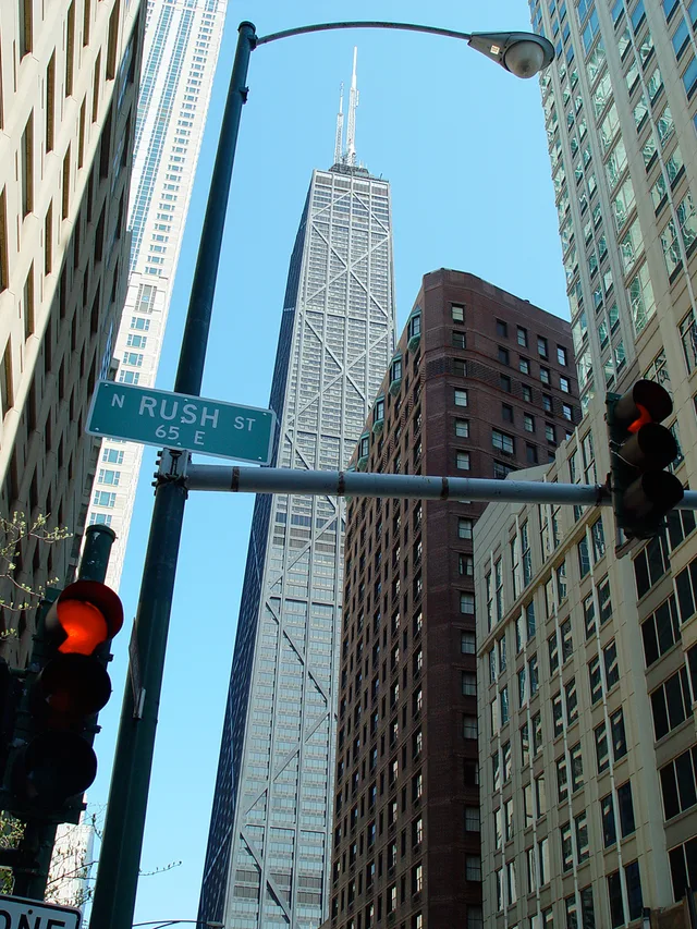
 875 North Michigan Avenue
- Entfernung
- 245 km
 TravelHub
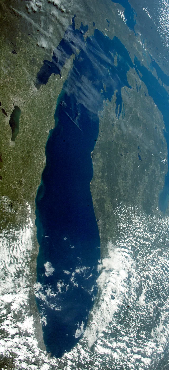
Lake Michigan functions as an inland sea where shipping lanes, shifting weather systems, and maritime distances dictate everyday transit and outdoor plans.
 Metropolitan Museum of Art
 Wall Street
 Weißes Haus
 World Trade Center
 Brooklyn Bridge
 Central Park
 Empire State Building
 Golden Gate Bridge
 John F. Kennedy International Airport
 Freiheitsstatue
 Pentagon
 Sears-Tower
 Brooklyn Museum
 Getty Center
 J. Paul Getty Museum
 Museum of Modern Art
 Solomon R. Guggenheim Museum
 Bronx Zoo
 Gateway Arch
 Lumen Field
 Mercedes-Benz Stadium
 Reliant Stadium
 United Center
 Broadway
 UNO-Hauptquartier
 Rockefeller Center
 7 World Trade Center
 875 North Michigan Avenue
 American Museum of Natural History
 Aon Center
 Art Institute of Chicago
 AT&T Stadium
 Bank of America Tower
 Capital One Arena
 Carnegie Hall
 Chrysler Building
 Coney Island
 Honolulu International Airport
 Disneyland
 Fifth Avenue
 Flatiron Building
 Grand Central Terminal
 Indianapolis Motor Speedway
 Flughafen New York-LaGuardia
 Levi’s Stadium
 Madison Square Garden
 Manhattan Bridge
 Nieuw Amsterdam
 New York Times Tower
 Newark Liberty International Airport
 One World Trade Center
 Rock and Roll Hall of Fame
 Space Needle
 St. Patrick’s Cathedral
 Times Square
 Trump Tower
 Vereinigte Staaten Naval Academy
 Woolworth Building
Lake Michigan connects with Lake Huron through the wide Straits of Mackinac, sharing an identical surface elevation. Together they form a single hydrological basin that constitutes the largest freshwater lake by surface area globally. Its depth and volume position it behind only Lake Superior among the North American Great Lakes.
Indigenous nations long navigated the basin, while seventeenth-century French expeditions transformed the straits into central networks for regional trade and missionary posts. Commercial craft expanded trade routes south toward the Mississippi River, carrying grain harvests outward and establishing ports that accelerated the growth of Chicago.
875 North Michigan Avenue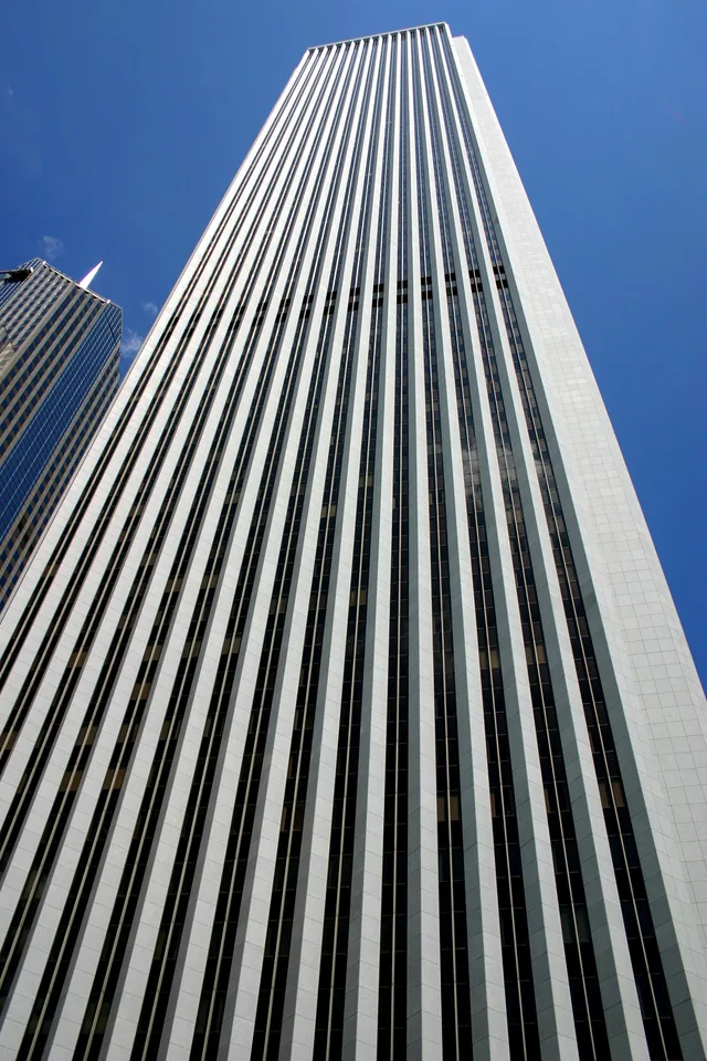 Aon Center
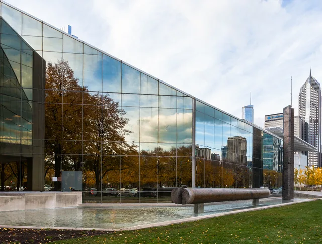 Art Institute of Chicago
Ort nicht gefunden? Die Suche versteht jede Sprache. Suche öffnen