 ≈ 30 Min. entferntal-Ahli-Arab-Krankenhaus
- Entfernung
- 9,5 km
 TravelHub
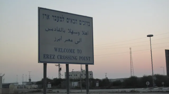
Residents depend on this sole highway to move supplies between the southern border and northern districts. Drivers face immediate isolation whenever checkpoints close and sever transit along the corridor.
The thoroughfare ranks among the oldest travel paths in the world. Armies led by Alexander the Great and Napoleon used this route to move across the Levant. Historically termed the Way of the Philistines, the corridor connected Egypt to northern trading hubs. British authorities later laid a parallel railway alongside the road, and municipal repaving work eventually uncovered the ancient Byzantine Church of Jabalia.
Spanning from the Rafah crossing in the south to the Erez terminal in the north, the highway carries all overland transit through the territory. Roadside mechanics, farmers, and heavy haulage trucks operate along the shoulders. Traffic faces frequent disruption from military checkpoints. During hostilities, designated evacuation corridors along the roadway came under fire, leading to closures and military seizure near Rafah.
≈ 30 Min. entferntal-Ahli-Arab-Krankenhaus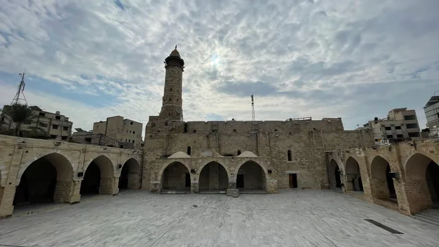 ≈ 30 Min. entferntGroße Moschee von Gaza
 ≈ 30 Min. entferntKirche der Heiligen Familie
Ort nicht gefunden? Die Suche versteht jede Sprache. Suche öffnen