
- Entfernung
- 2,4 km
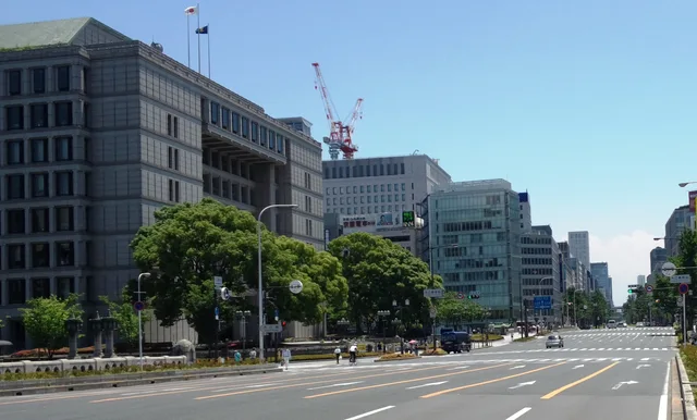
Osaka · Japan
Oebashi Bridge: was in der Nähe ist, wie man hinkommt und wann man fährt · 2026
Long-term residents pace their daily routines around the rush of bridge foot traffic, trading quiet morning walks for rapid pedestrian access to central office towers.
Aktuell in der StadtOebashi Bridge+13 °Caktualisiert 01:03In der Umgebung16
Wechselkurs157,9 ¥Stand: 02.11.2026
In der Umgebung16
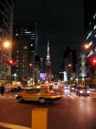 Nationalstraße 1
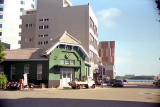 Former Konishi Family Residence
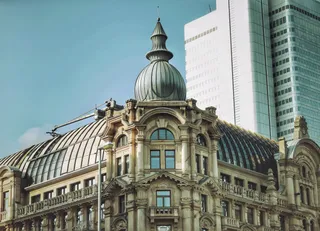 Main Build
 Yodoya Bridge
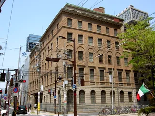 Mengyo Kaikan
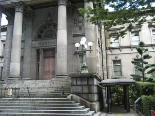 Osaka Prefectural Nakanoshima Library
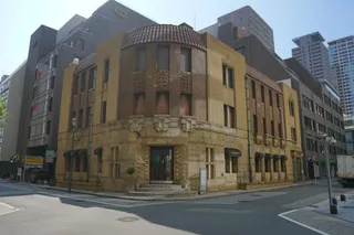 Shibakawa Building
- Gate Tower Building
- Osaka Science Museum
- Ōsaka Tenman-gū
- Sukunahikona-jinja Shrine
- Osaka City Central Public Hall
- 岸本瓦町邸
- Kitahama Retro Building
- Osaka Gas Building
- Tekijuku
Über den Ort
Urban commuters cross Oebashi Bridge to reach the surrounding commercial district.
Oebashi Bridge accommodates steady pedestrian and vehicular movement across the urban core. Commuters rely on the crossing to transition between commercial workspaces and transit nodes throughout the working week. The structure integrates into the regional transit rhythm under the Asia/Tokyo standard time zone without disruption.
Weiterlesen
Residents planning extended stays coordinate housing through verified local host networks across the surrounding urban area. Daily transit near the bridge requires adapting to regular commuter surges during morning and evening rush periods. Pedestrians benefit from well-maintained riverfront walkways adjacent to the roadway.
Verbände
- Urban transit
- Host network
- Peak congestion
Fakten
- The bridge operates within the Asia/Tokyo time zone.
- Community hospitality networks maintain registered local hosts for visitors.
- Entry regulations determine visa-free status depending on the passport of origin.
Anreise und Unterkunft
Kostenlose Aufenthalte bei GastgebernGastgeber anzeigen
In der Stadt151
2 Quellen · Stand: 3. November 2026
Quelle: TravelHub · OurAirports (public domain)
Google-Bewertungen
Was Besucher auf Google Maps schreiben
Bewertung und aktuelle Rezensionen von Google Maps werden auf Wunsch geladen.
Ähnliche Orte in der Nähe
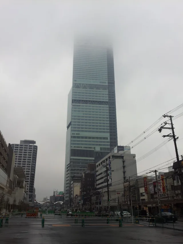 ≈ 25 Min. entferntAbeno Harukas
- Entfernung
- 5,5 km
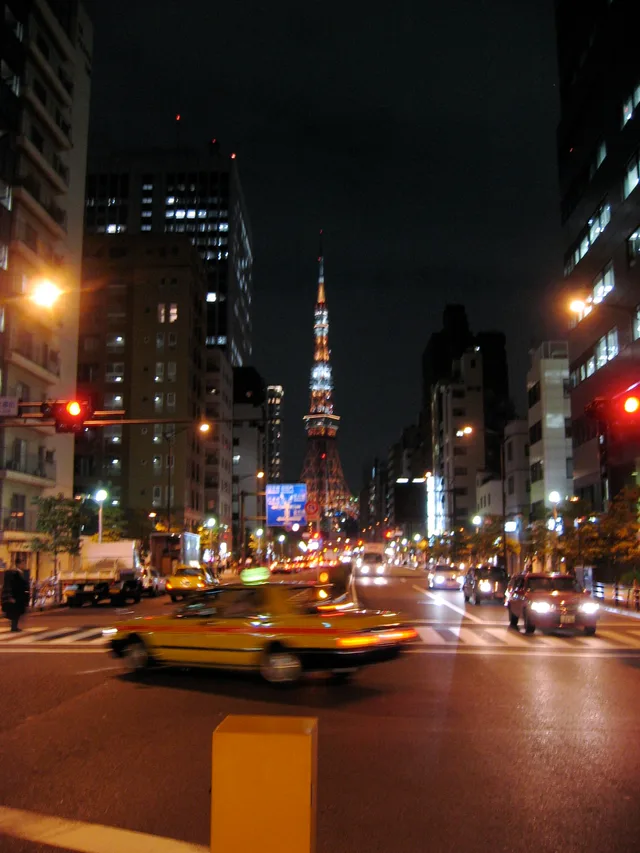 ≈ 5 Min. entferntNationalstraße 1
- Entfernung
- 400 m
Städte in Japan
Orte in Oebashi Bridge
Länder in der Nähe
Häufige Fragen zu Oebashi Bridge
Ort nicht gefunden? Die Suche versteht jede Sprache. Suche öffnen