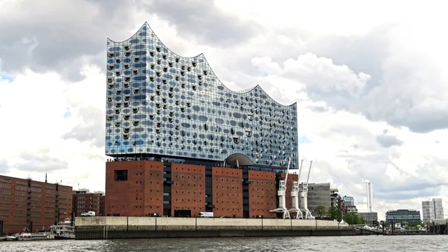
 ≈ 50 Min. entferntElbphilharmonie
- Entfernung
- 3,9 km
 TravelHub
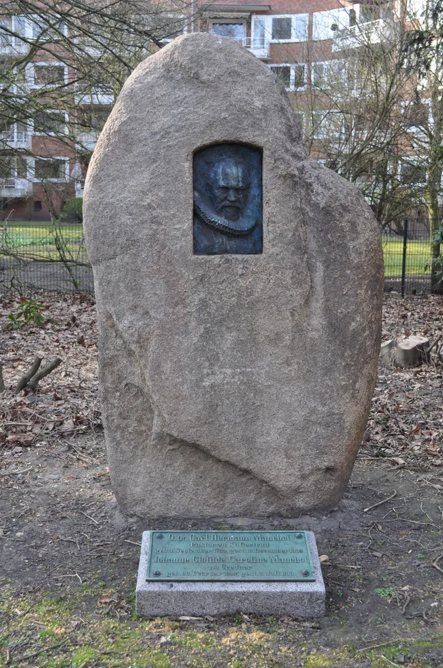
Residents around Kuhmühlenteichbrücke trade quiet waterside transit routes for limited vehicle access and competitive residential leasing.
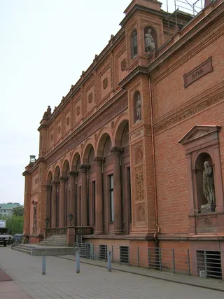 Hamburger Kunsthalle
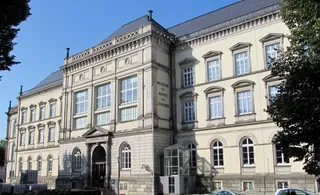 Museum für Kunst und Gewerbe Hamburg
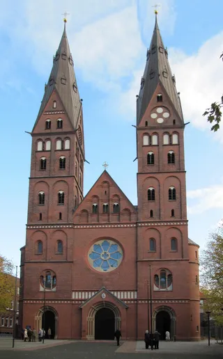 St. Marien-Dom
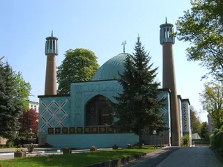 Islamisches Zentrum Hamburg
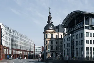 U-Bahnhof Uhlandstraße
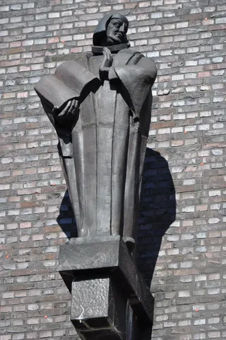 Dominikaner-Kloster St. Johannis
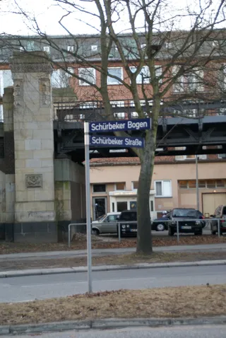 Sankt Gertrud
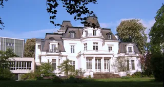 Budge-Palais
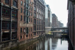 Hammonia-Bad
 Hohenfelder Brücke
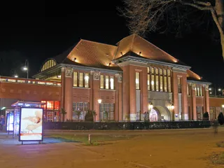 Mundsburg Center
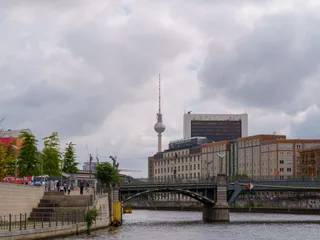 Schwanenwikbrücke
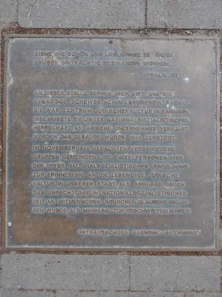 Hamburger Straße
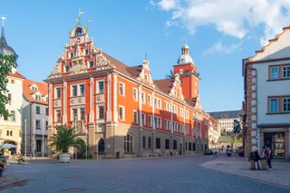 Mundsburg
Kuhmühlenteichbrücke carries daily pedestrian and road traffic across the local water basin in Hamburg. The structure integrates historical bridge engineering into the active municipal transit grid. Those living nearby rely on these canal corridors for routine commuting on foot and by bicycle, avoiding heavier avenues.
Urban life along the canal requires adapting to damp coastal winds and shared waterfront thoroughfares. Long-term residents coordinate daily routines around pedestrian bridge pathways that connect residential quarters to broader public transit links, making personal motor vehicles largely unnecessary for local travel.
≈ 50 Min. entferntElbphilharmonie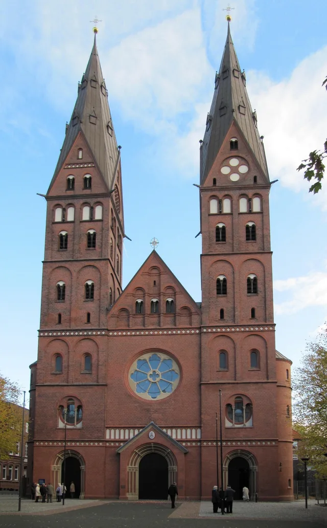 ≈ 15 Min. entferntSt. Marien-Dom
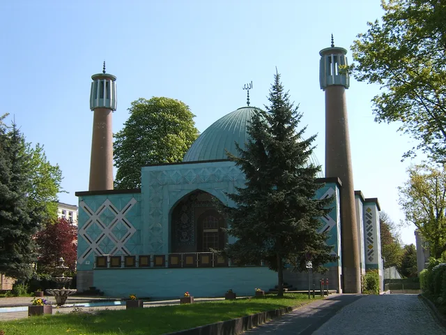 ≈ 20 Min. entferntIslamisches Zentrum Hamburg
Ort nicht gefunden? Die Suche versteht jede Sprache. Suche öffnen