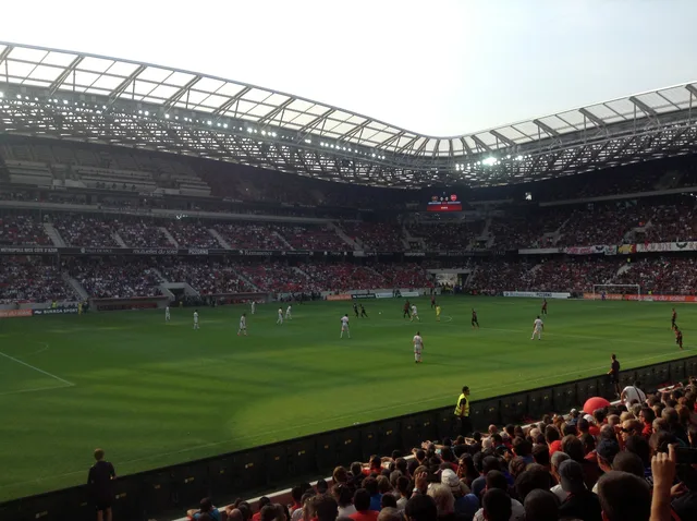
 ≈ 30 Min. entferntStade de Nice
- Entfernung
- 7,1 km
 TravelHub
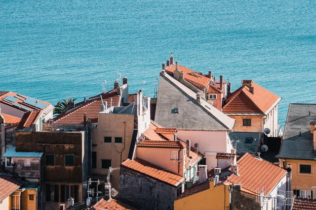
Residents navigating the slopes above the old town contend with constant elevation changes on every grocery run.
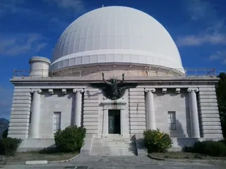 Côte-d'Azur-ObservatoriumObservatoire de Nice
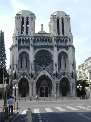 Notre-Dame-de-l’Assomption (Nizza)
 Stade du Ray
 Museum Marc Chagall
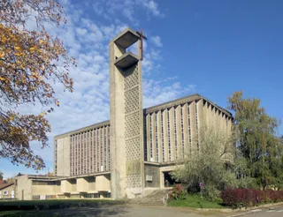 Ste-Jeanne-d’Arc (Nizza)
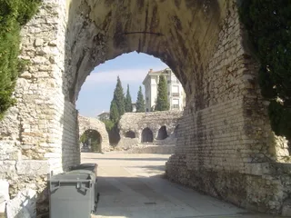 arènes de Cimiez
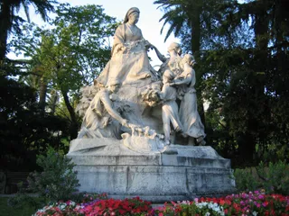 Monument à la reine Victoria
The ancient wall preserves traces of the pre-Roman Ligurian settlement perched above the bay. Built from stacked local stones, the surviving structural remnants delineate early defensive boundaries on the heights. Daily life around the hillside involves continuous climbing through steep stone corridors that bypass modern road networks.
Long-term residents in the surrounding quarters navigate narrow pedestrian lanes where vehicles cannot pass. The elevation isolates the upper historical precinct from the heavy traffic of the waterfront promenade below. Essential services and markets require descending into the lower historic grid and carrying provisions back uphill.
≈ 30 Min. entferntStade de Nice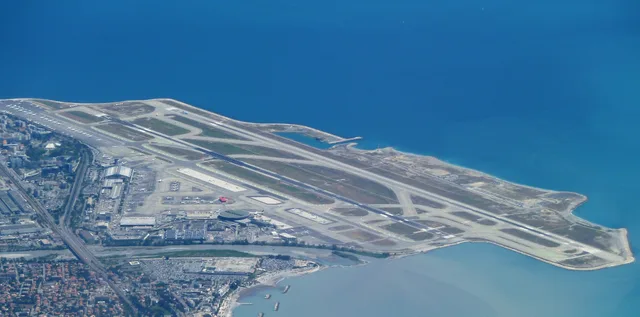 ≈ 30 Min. entferntFlughafen Nizza
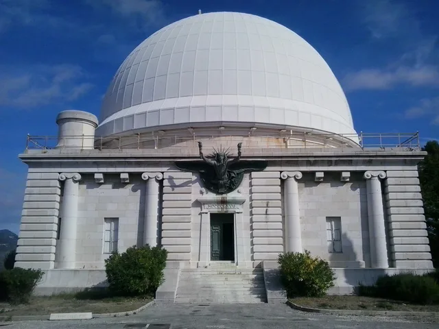 ≈ 25 Min. entferntObservatoire de Nice
Ort nicht gefunden? Die Suche versteht jede Sprache. Suche öffnen