Zum Inhalt springen
TravelHub
Floridsdorf · Österreich

Kärntner Straße: was in der Nähe ist, wie man hinkommt und wann man fährt · 2026

Long-term residents treat this central pedestrian thoroughfare as a swift transit spine between Karlsplatz and Stephansplatz, timing their walks to bypass peak shopping crowds.

Karte der Orte
Aktuell in der StadtKärntner StraßeOrtszeit vor OrtIn der Umgebung4
Wechselkurs0,89 €pro 1 $EUR — die LandeswährungStand: 02.11.2026
Karte wird geladen
Innerhalb von zwei Stunden
Über den Ort

A Roman transit route evolved into an urban pedestrian corridor lined with historic palaces and department stores.

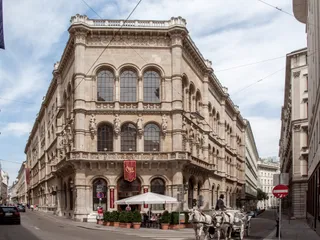
The thoroughfare originated as a Roman transit path and later connected the fortified urban core to the southern gate near the opera house. Early trade routes linked this corridor directly toward Adriatic ports such as Venice and Trieste. Following the removal of the old defensive walls, city planners widened the street and extended its course south to Karlsplatz, prompting the construction of grand palaces and flagship retail halls.

Weiterlesen

Severe wartime destruction reshaped the streetscape, leading to modern postwar buildings with austere facades standing beside surviving historic palaces. The corridor transformed permanently into a car-free pedestrian zone during the construction of the underground rail network. Today it connects Stephansplatz with Karlsplatz, joining Graben and Kohlmarkt to form a central pedestrian retail district filled with cafes and hotels.

Verbände
  • The Golden UForms a connected high-end shopping district alongside Graben and Kohlmarkt.
  • Pedestrian zoneCar-free design prioritizes foot traffic between Karlsplatz and Stephansplatz.
  • Postwar architectureAustere modern reconstructions stand directly beside surviving historic palaces.
  • Tourism densityConstant foot traffic and commercial retail make quiet daily commuting difficult.
Fakten
  • The street originated during the Roman settlement period and historically connected the urban center with the Carinthian Gate.
  • Together with Graben and Kohlmarkt, the pedestrian street forms the central shopping area known as the Golden U.
  • The street was converted into a dedicated pedestrian zone during the construction of the municipal subway network.
  • The local time standard across the district is set to Europe/Vienna.
Quelle: Wikipedia · TravelHub
Kärntner Straße in Bildern6 Fotos
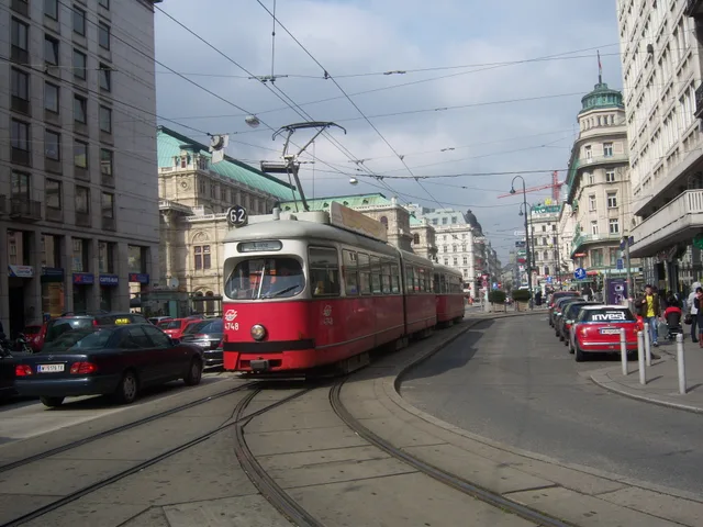
User:My Friend · cc-by-sa-3.0 · 31.03.2009
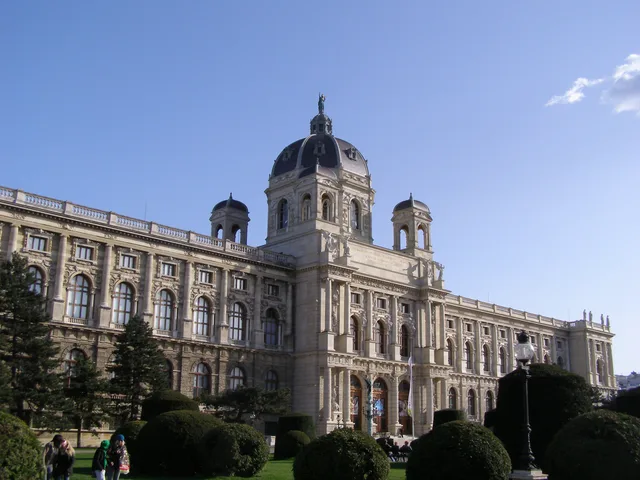
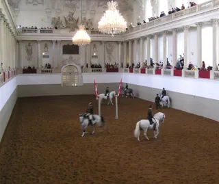
Buchhändler · cc-by-sa-3.0 · 15.02.2014
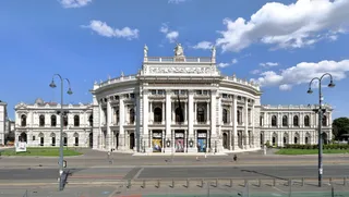
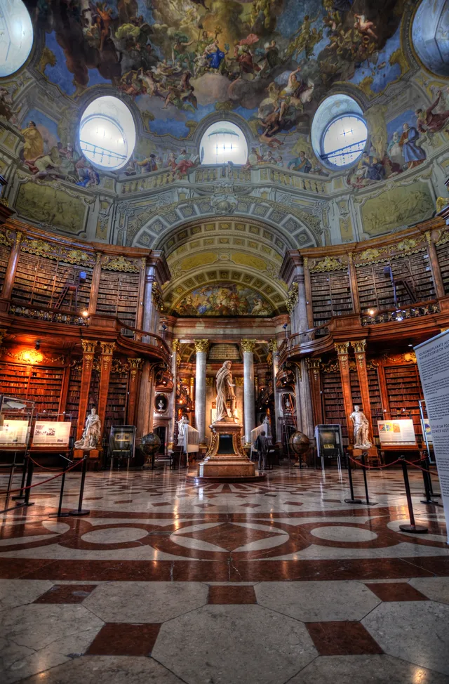
János Korom Dr. from Wien, Austria · cc-by-sa-2.0 · 31.12.2005

Anreise und Unterkunft

Hier gibt es noch keine Gastgeber für kostenlose Unterkünfte – die nächstgelegene Stadt mit ihnen:

München1.823 Gastgeber · 3 Std. 40 Min.
2 Quellen · Stand: 3. November 2026
Quelle: TravelHub · OurAirports (public domain)

Google-Bewertungen

Was Besucher auf Google Maps schreiben

Bewertung und aktuelle Rezensionen von Google Maps werden auf Wunsch geladen.
In Google Maps öffnen