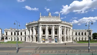
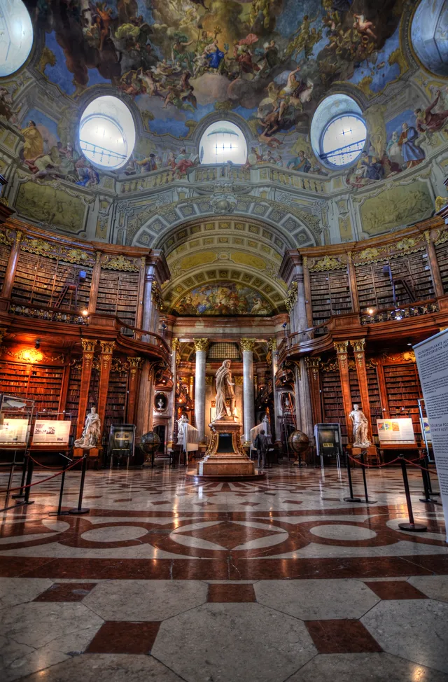
 ≈ 10 min awayAustrian National Library
- Distance
- 500 m
 TravelHub
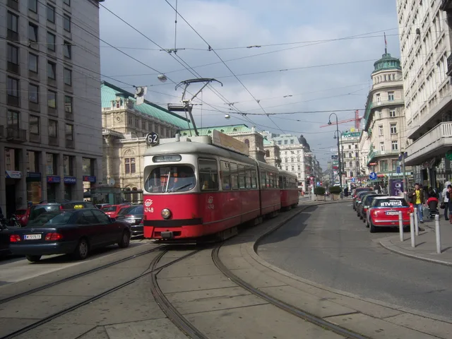
Long-term residents treat this central pedestrian thoroughfare as a swift transit spine between Karlsplatz and Stephansplatz, timing their walks to bypass peak shopping crowds.
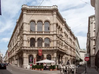
The thoroughfare originated as a Roman transit path and later connected the fortified urban core to the southern gate near the opera house. Early trade routes linked this corridor directly toward Adriatic ports such as Venice and Trieste. Following the removal of the old defensive walls, city planners widened the street and extended its course south to Karlsplatz, prompting the construction of grand palaces and flagship retail halls.
Severe wartime destruction reshaped the streetscape, leading to modern postwar buildings with austere facades standing beside surviving historic palaces. The corridor transformed permanently into a car-free pedestrian zone during the construction of the underground rail network. Today it connects Stephansplatz with Karlsplatz, joining Graben and Kohlmarkt to form a central pedestrian retail district filled with cafes and hotels.
No free-housing hosts here yet — the nearest city with them:
MunichWhat visitors say on Google Maps
Rating and recent reviews from Google Maps load on request.
≈ 10 min awayAustrian National Library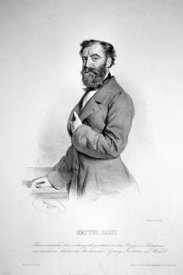 ≈ 10 min awayVienna State Opera house
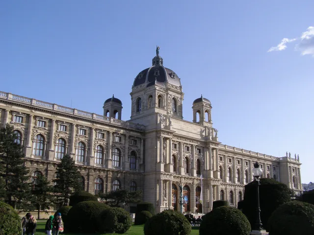 ≈ 15 min awayKunsthistorisches Museum
Can’t find the place you need? Search understands any language. Open search