 距离 ≈ 40分钟洛杉磯港
- 距离
- 3.3公里
 TravelHub
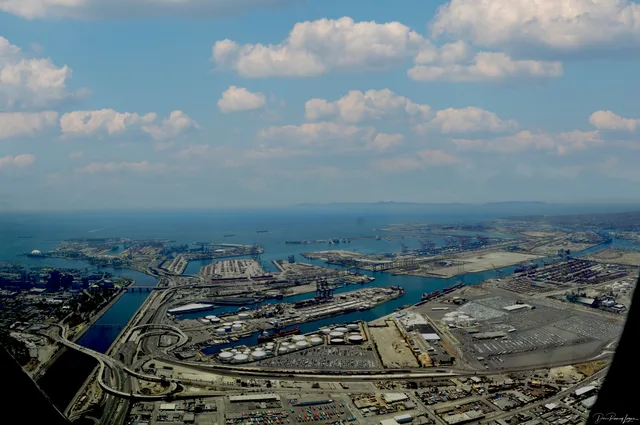
Terminal Island splits its soil between two massive shipping hubs, leaving civilian life behind in favor of heavy cargo terminals and strict federal boundaries.
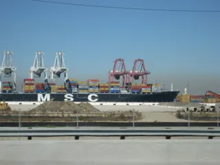
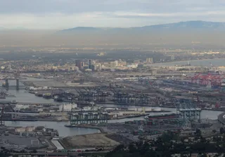
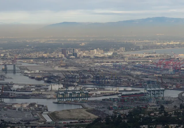
Terminal Island functions entirely as an industrial extension of San Pedro Bay. Shared between the Port of Los Angeles and the Port of Long Beach, the territory contains commercial shipping docks, cargo storage yards, and rail connections. The sole non-industrial installation on the grounds is a federal correctional institution.
Artificial expansion shaped the modern footprint of the island over generations of maritime engineering. Engineers dredged surrounding channels and detonated nearby islets to add land to the waterfront. What began as a sandbar known as Rattlesnake Island gradually turned into a massive manufacturing and shipping zone.