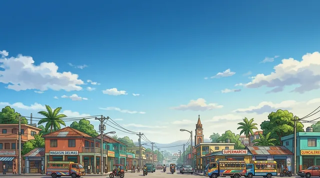
 距离 ≈ 3小时 50分钟Delmas
- 月份
- ≈ $670
- 距离
- 487公里
 TravelHub
Living along this coastline means tracking tropical weather systems during hurricane season and navigating maritime trade patterns that define coastal life.
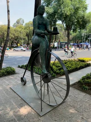 國立人類學博物館
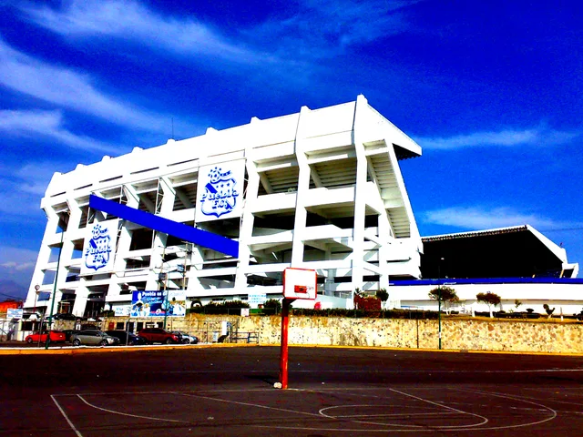
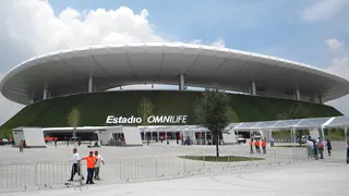 阿克伦体育场
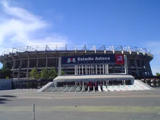 阿茲特克體育場
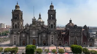 墨西哥城主教座堂
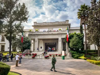 洛斯皮诺斯
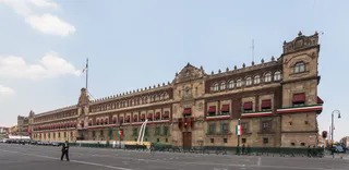 国家宫
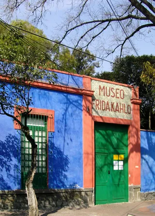 芙烈達·卡蘿紀念館
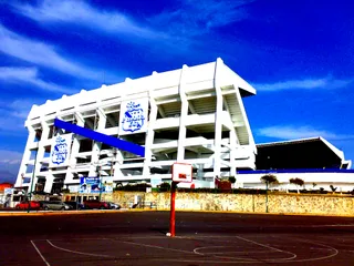 庫奧赫特莫克球場
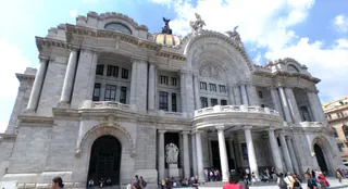 艺术宫
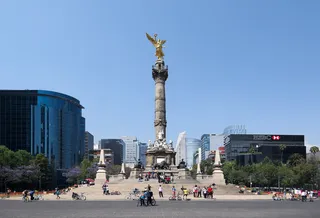 独立纪念柱
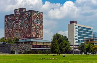 大学城 (墨西哥城)
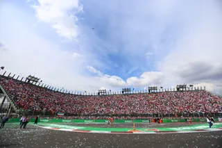 羅德里格斯兄弟賽道
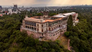 查普尔特佩克城堡
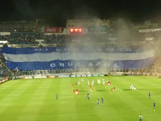 Ciudad de los Deportes Stadium
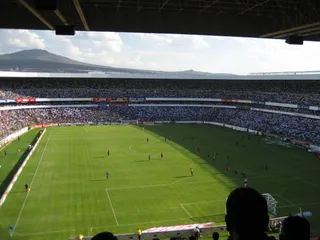 科雷希多拉體育場
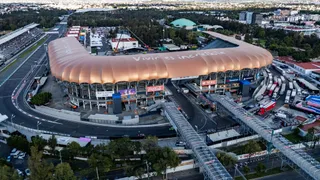 佛羅索球場
 内萨86体育场
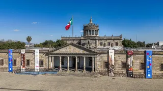 卡瓦尼亚斯救济所
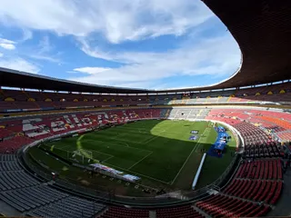 阿茲迪球場
 萊昂體育場
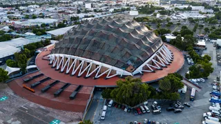 体育宫
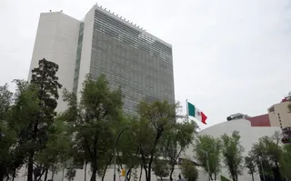 共和国参议院
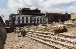 大神庙
 提華納國際機場
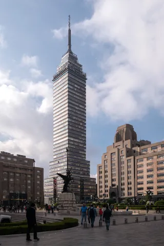 拉丁美洲塔
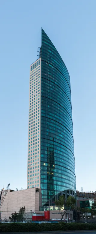 主塔大廈
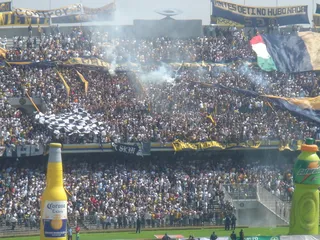 墨西哥国立自治大学奥运体育场
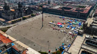 宪法广场
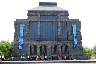 Anahuacalli Museum
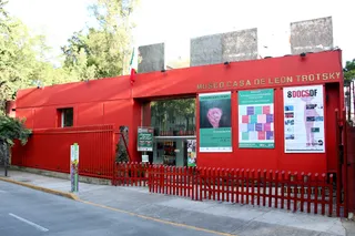 莱昂·托洛茨基博物馆
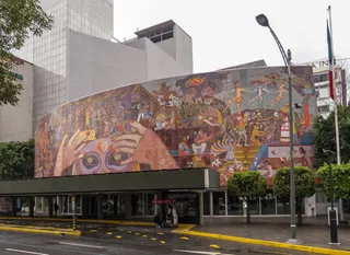 Teatro de los Insurgentes
 Cerro de la Estrella National Park
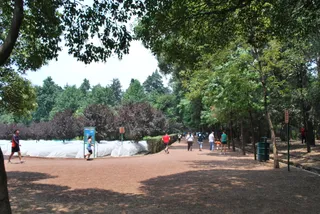 Viveros de Coyoacán
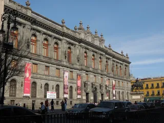 Museo Nacional de Arte
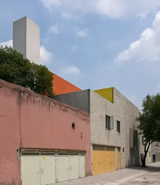 Luis Barragán House and Studio
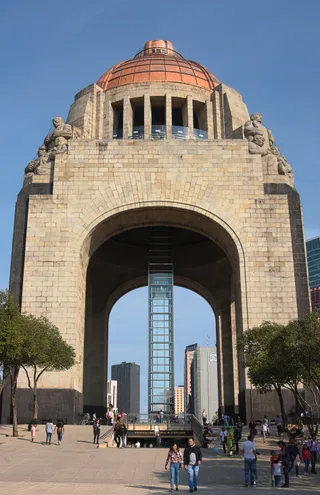 Monumento a la Revolución
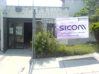 National Autonomous University of Mexico
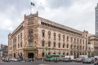 Palacio Postal
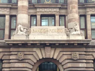 Banco de México Building
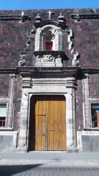 Casa de la Covadonga
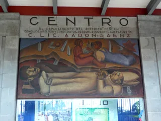 Centro Escolar Revolución
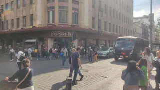 Historic downtown of Mexico City
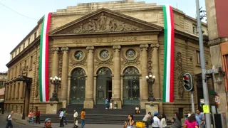 Palacio Legislativo de Donceles
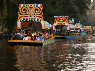 Xochimilco
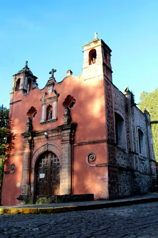 Capilla de San Antonio de Panzacola
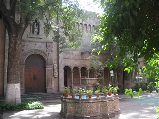 Instituto Cultural Helénico
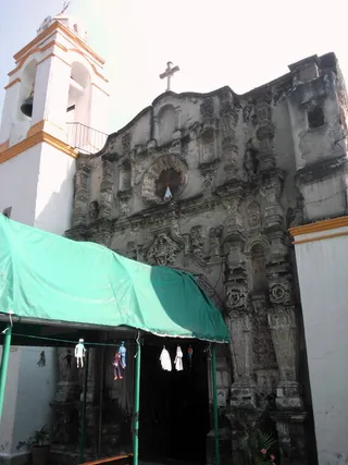 Parish of Santa Anita Zacatlamanco, Iztacalco
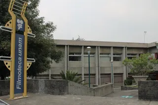 Filmoteca
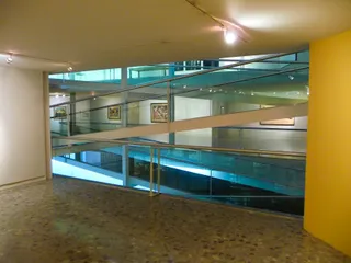 Museo de arte Carrillo Gil
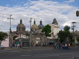 Museo de El Carmen
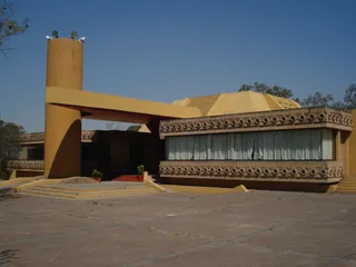 Museo del Fuego Nuevo
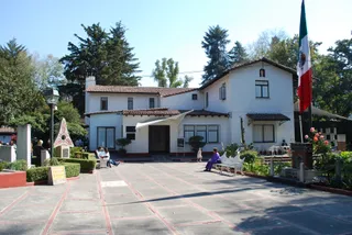 Museo Nacional de la Acuarela Alfredo Guati Rojo
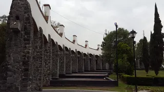 Alameda del Sur
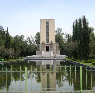 Parque de la Bombilla
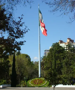 Parque Luis G. Urbina (Parque Hundido)
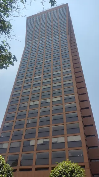 Torre AXA México
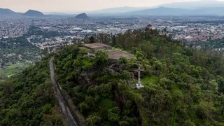 Cerro de la Estrella
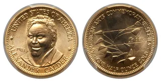 Sol Rojo
Bounded by the Antilles and continental coasts, the water connects numerous island territories with mainland ports. Trade winds generate diverse microclimates, ranging from moist coastal rainforests to dry savanna zones along the peninsular edges. Maritime industries rely heavily on fishing grounds and energy reserves across the continental shelf.
Cyclonic storms develop over Atlantic waters and move westward through the basin, bringing seasonal hazards that demand constant monitoring. Runoff and untreated coastal wastewater present ongoing ecological strains for nearshore reefs. Meanwhile, diving activities and shipping channels continue to dominate the practical rhythm of coastal settlements.
没找到心仪的目的地?搜索功能支持任何语言。 打开搜索