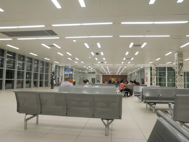
 距离 ≈ 30分钟科納克里國際機場
- 距离
- 10公里
 TravelHub
Residents commuting toward the peninsula core quickly learn that this historic bottleneck severed the city during political crises.
The bridge occupied a strategic bottleneck that controlled overland movement between the central business district and the rest of the urban peninsula. Because the roadway formed the sole direct passage into the administrative heart of the capital, control of this crossing determined access to key government compounds during military coups. The structure stood for decades before urban authorities demolished it.
Even following the removal of the overhead span, this geographical bottleneck dictates daily transit patterns across the Camayenne sector. Foreign personnel living on the peninsula face persistent congestion along the transit corridor whenever traffic surges toward the administrative quarter. Long-term residents maintain alternative transit schedules and monitor local reports to bypass sudden checkpoints across the corridor.
访客在 Google 地图上怎么说
Google 地图的评分和最新评价将按需加载。
没找到心仪的目的地?搜索功能支持任何语言。 打开搜索