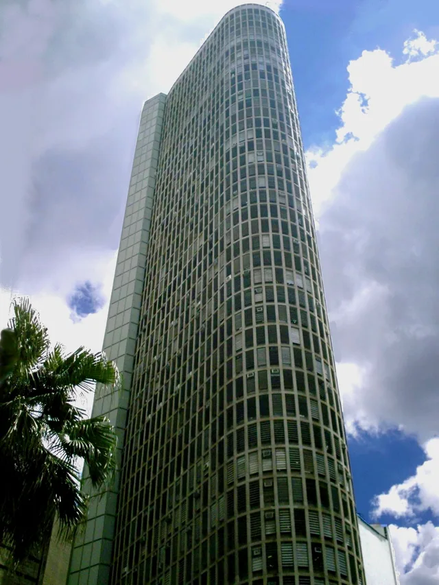
 距离 ≈ 30分钟意大利大厦
- 距离
- 2.2公里
 TravelHub
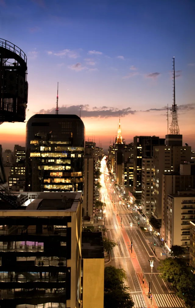
Commuters anchor their daily routines to the subway running underneath, moving between Consolação and Paraíso while avoiding surface gridlock.
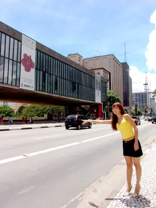
The thoroughfare runs northwest to southeast across the plateau, anchored by Praça Marechal Cordeiro de Farias at Rua da Consolação on one end and Praça Oswaldo Cruz on the other. It intersects key cross streets including Rua Augusta, Rua Haddock Lobo, and Avenida Brigadeiro Luís Antônio while passing through Paraíso, Jardim Paulista, Cerqueira César, and Jardim América before reaching Higienópolis.
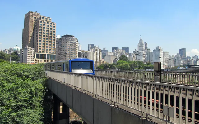
Parallel corridors flank the avenue, with Cincinato Braga and Joaquim Eugenio de Lima running along Bela Vista, and Alameda Santos and Coronel Oscar Freire tracing Jardins. Beneath the surface, the Green Line subway tracks the entire length of the street, linking eastern and western districts and offering direct interchanges to the Blue Line, Yellow Line, Lilac Line, Turquoise Line, and the Silver Line monorail.
访客在 Google 地图上怎么说
Google 地图的评分和最新评价将按需加载。