
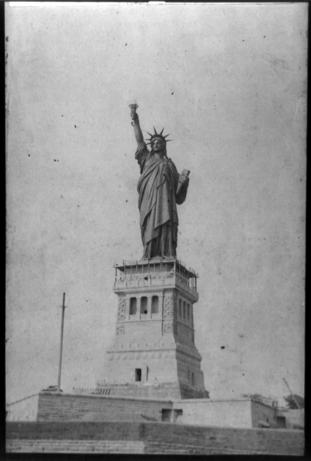
 ≈ 15 хв у дорозіСтатуя Свободи
- Відстань
- 1,2 км
 TravelHub
Plan trips around scheduled harbor ferries, because water crossings remain the single way to reach or depart the grounds.
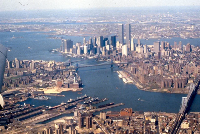
Ellis Island stands in Upper New York Bay under federal jurisdiction, shared across state boundaries. Water transit controls all access, with public entry dependent on scheduled ferries. The grounds divide between a northern museum complex and southern hospital facilities accessible through guided visits.
Federal authorities operated the station as the primary maritime entry point for arrivals entering the country. Early colonial landholders used the acreage for fishing and military defense installations, including shoreline batteries. The surviving buildings document administrative immigration procedures across generations.
Що пишуть відвідувачі на Google Maps
Рейтинг і свіжі відгуки з Google Maps завантажаться на запит.
≈ 15 хв у дорозіСтатуя Свободи ≈ 35 хв у дорозіВсесвітній торговий центр
 ≈ 35 хв у дорозіВолл-стріт
Не можете знайти потрібне місце? Пошук розуміє будь-яку мову. Відкрити пошук