
- Відстань
- 1,2 км
Хірошіма · Японія
Japan National Route 261: що навколо, як дістатися і коли їхати · 2026
A resident along this corridor trades city tram connections for mountain driving, balancing isolated valley life with regular supply trips between Naka-ku and Gotsu.
Що навколо38
Курс валюти158,29 ¥станом на 3 лист. 2026 р.
Що є навколо38
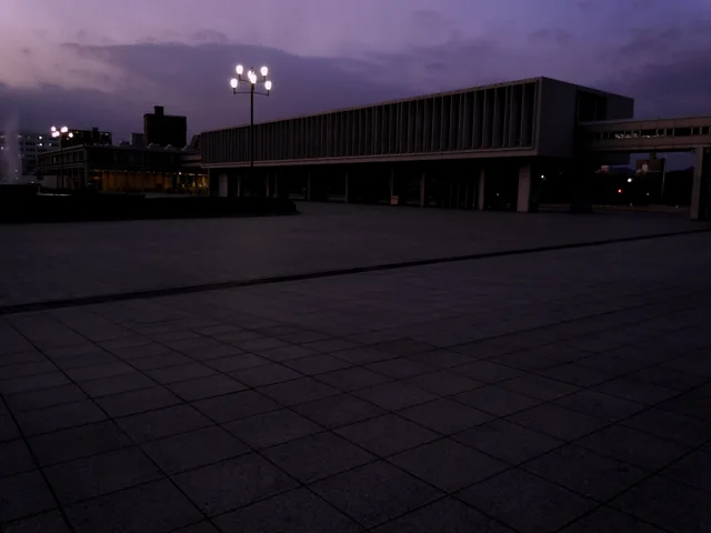
 Хіросімський меморіальний «Музей миру»
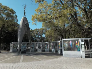 Дитячий пам'ятник миру
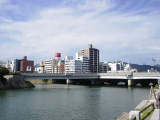 Міст Айой
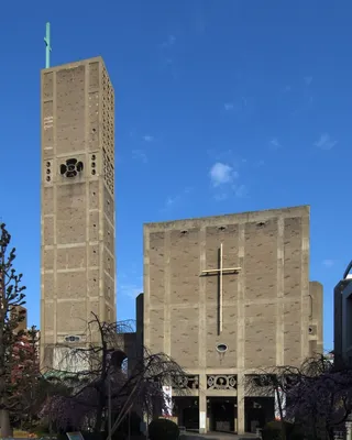 Собор всесвітнього миру
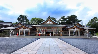 Hiroshima Gokoku Shrine
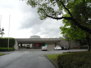 Hiroshima Museum of Art
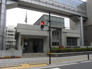 Fukuromachi Elementary School Peace Museum
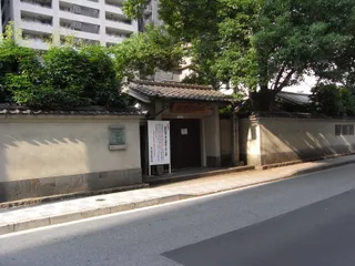 Rai Sanyo Shiseki Museum
 Honkawa Elementary School gymnasium
- Honkawa Elementary School Peace Museum
 Rest House
 健康科学館
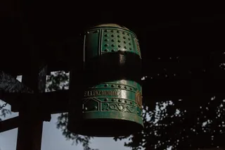 Bell of Peace
 Roman Catholic Diocese of Hiroshima
 Shirakami-sha
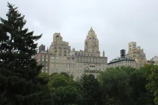 Central Park
 Heiwa Bridge
 Hijiyama Bridge
 Hiroshima Crystal Plaza
 Urban View Grand Tower
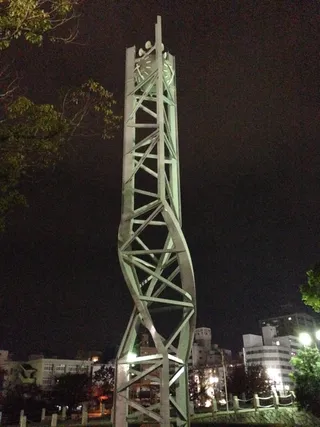 Atomic Bomb Memorial Mound
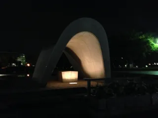 Cenotaph for the A-bomb Victims
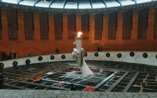 Flame of Peace
 Hiroshimadaihoneiato
 Phoenix tree
 The Gates of Peace
 Hiroshima Orizuru Tower
- Меморіал миру в Хіросімі
- Хіросімський меморіальний «Парк Миру»
- Hondōri
- Former Bank of Japan
- Hiroshima Peace Memorial (Genbaku Dome)
- Historical Site - Hiroshima Castle
- Hiroshima Children's Museum
- 永徳寺 観音院
- 西蓮寺 (広島市)
- Senda Park
- Hijiyama park
Про місце
A national highway connects Naka-ku in Hiroshima to the coastal city of Gotsu.
This national highway forms an overland transit corridor across prefectural borders, linking Naka-ku in Hiroshima directly to Gotsu in Shimane. The road provides a continuous transit line between an urban regional center and a coastal terminal point. Long-term residents rely on the route to move between mountain communities.
Читати далі
Settlers along the corridor find a decentralized lodging landscape where registered local hosts provide free accommodation for temporary stays. Residents along the roadway depend on personal motor vehicles because rural sections operate without metropolitan transit. Drivers make regular journeys between terminal hubs for supplies.
Асоціації
- Naka-ku Terminus
- Gotsu Connection
- Transit Isolation
- Community Hospitality
Факти
- The route operates as an officially designated national highway in Japan.
- The corridor directly links Naka-ku in Hiroshima with Gotsu in Shimane.
- Catalog records identify verified community hosts offering free lodging along the route.
Джерело: Wikipedia · TravelHub
Дорога та житло
Безкоштовне проживання у хостівДивитися хостів
У місті22
2 джерела · Станом на 4 листопада 2026 р.
Джерело: TravelHub · OurAirports (public domain)
Схоже поблизу
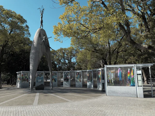 ≈ 15 хв у дорозіДитячий пам'ятник миру
- Відстань
- 1,1 км
Місця в Japan National Route 261
Країни поруч
Часті питання про Japan National Route 261
Не можете знайти потрібне місце? Пошук розуміє будь-яку мову. Відкрити пошук