 ≈ 1 ч в путиПравительственное здание (Парамарибо)
- Расстояние
- 4,6 км
 TravelHub
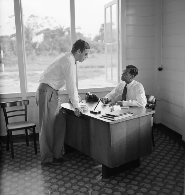
Field researchers and project teams organize interior travel directly through local hangars, relying on private charters rather than fixed commercial schedules.
The airfield operates west of the Suriname River, positioned directly between the quarters of Zorg en Hoop and Flora. Unlike the international gateway outside the capital, this site focuses on general aviation, pilot training, emergency medical transport, and private charter flights across the country. Scheduled passenger services remain sparse, leaving the tarmac primarily to specialized regional operators.
Domestic aviation history in the country began on this ground when aviation pioneers established private flight operations, built hangars, and began opening access to the deep interior. The initial routes carried postal deliveries and passengers out to settlements like Moengo, Coronie, Nickerie, and Albina. Today, the airfield remains the central link for reaching remote mining, conservation, and community airstrips.
Что пишут посетители на Google Maps
Рейтинг и свежие отзывы с Google Maps загрузятся по запросу.
≈ 1 ч в путиПравительственное здание (Парамарибо)Не нашли нужное место? Поиск понимает любой язык. Открыть поиск