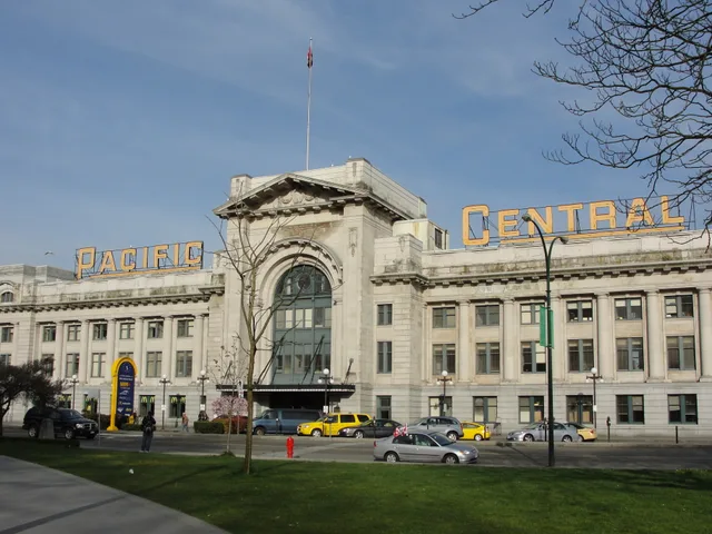
 ≈ 30 min drogiPacific Central Station
- Odległość
- 2,5 km
 TravelHub
Downtown commuters who cycle across False Creek to the Fairview neighborhood rely on the high crossing to bypass waterfront congestion, trading exposed weather overhead for a direct route between districts.
The high cantilever crossing forms a central segment of the provincial highway corridor, lifting vehicle traffic over False Creek and the arts district on Granville Island below. Built to span the water between Downtown Vancouver and the Fairview neighborhood, the roadway handles heavy daily traffic while maintaining elevated sidewalks. The route follows the historic corridor opened across the water to spur urban settlement.
The city self-funded the present steel structure without provincial or federal aid after earlier timber and steel swing bridges proved inadequate. Wide deck proportions originally anticipated an urban freeway network that regional planners later cancelled. Municipal teams subsequently completed seismic reinforcement projects, removed cloverleaf access loops, and converted motor lanes into protected paths for cyclists.
Co piszą odwiedzający w Mapach Google
Ocena i najnowsze opinie z Map Google wczytają się na żądanie.
≈ 30 min drogiPacific Central StationNie możesz znaleźć miejsca, którego potrzebujesz? Wyszukiwarka rozumie każdy język. Otwórz wyszukiwarkę