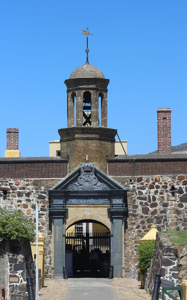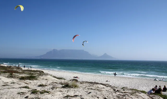
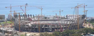
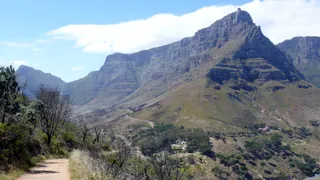
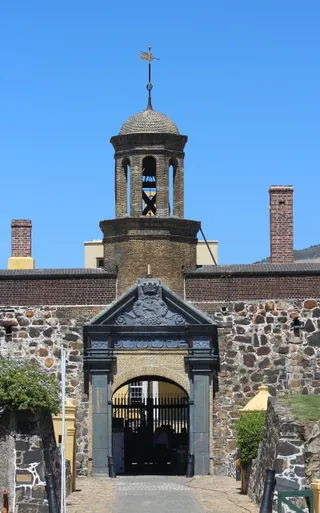
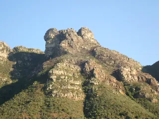

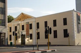
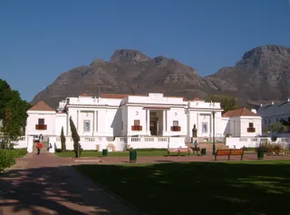
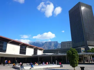

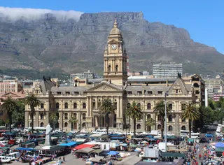
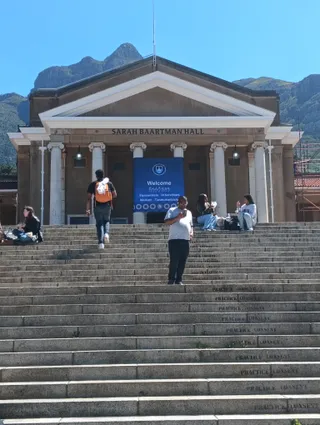
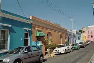
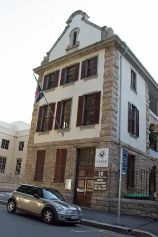
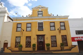
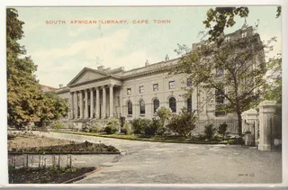
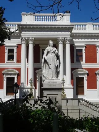

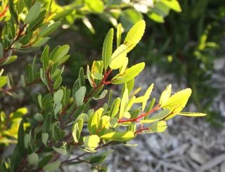
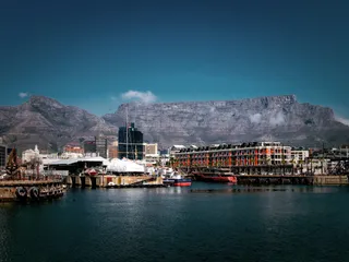

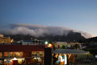
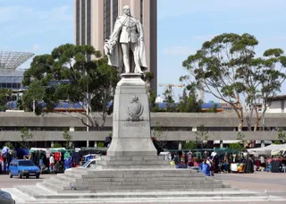
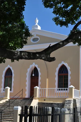

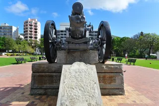
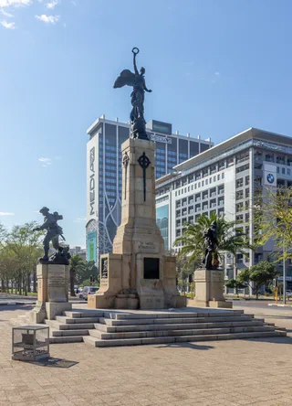
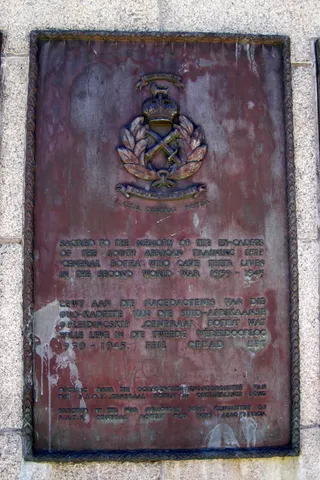
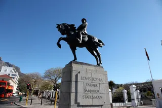
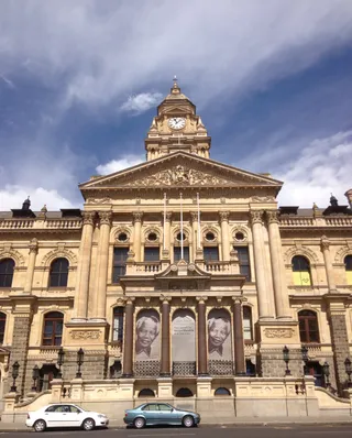
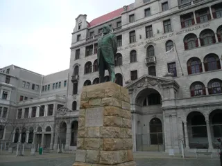

It is time to say and tell something specific about the city. I do not engage in plagiarism, and therefore I will quote excerpts from Ivan Zgersky's guidebook, the most interesting and important ones, in my opinion. "The oldest city in South Africa is located at the top of the Cape Peninsula, ending at the Cape of Good Hope. The name came from there, at first just Kaap (in Dutch — cape), then Kaapstad, and it turned into the English Cape Town. City-cape, cape-city. The Dutch arrived here in April 1652, three hundred sailors led by a commander named Jan van Riebeeck. The sailors were armed, but were not military as such. They were employees of the Dutch East India Company (VOC), with a 25-year contract. They were tasked with creating a transshipment point to supply the company's ships with food and fresh water. The place was chosen near the slope of a huge flat mountain, christened Table Mountain. It protected from the wind and provided fresh water necessary for the settlement. Its slopes were covered with centuries-old hardwood trees. Construction of a wooden fortress for temporary protection against predators began immediately. In 1666, a new stone fortress (Castle of Good Hope) was laid, which stands to this day as a museum and provincial ministry of defense. This is the oldest surviving European building in South Africa. It's wild to imagine, but they tried to demolish it three times, and even managed to partially destroy it. In the end, they had to declare the fortress a historical monument to save it from disappearing under the pressure of another shopping center. Visitors are immediately struck by many things in Cape Town. The impressive view of the city, spread along the Table Bay of the Atlantic Ocean, under the Table Mountain soaring into the sky. It is also the whitest (by the skin color of its inhabitants) of all the large cities in South Africa. The city is modern, but compact; the entire business center can be walked in an hour. It is divided by Strand Street, along which the beach used to run. In the 1960s, massive construction began, when whole hectares were reclaimed from the ocean, erecting high-rise buildings where there used to be water. The street separates two cities – the old one, built under the British, starting from 1806, and the modern one, after the 60s of the last century. It is intersected perpendicularly by the central street. Once it was a canal, but with the growth of the population, it began to be used for sewage disposal, and on summer days a stench hung over the city. The canal was walled up, and the water now flows through pipes into the ocean. The central street is divided by Strand Street into two halves — Adderley Street and Heerenchracht. Its upper half runs through the old part, and after Strand it becomes Heerenchracht — the Gentlemen's Promenade. It is better to start moving along it from the bottom, from the ocean. Stand with your back to the port. Ahead is the central street. It begins with a monument to the first Portuguese navigator who set foot on the cape, which later became the Cape of Good Hope. Bartolomeu Dias named it the Cape of Storms in 1488 and told the whole world about it. Nearby are two more monuments — to Jan van Riebeeck, the founder of the city, and his wife, Maria. The founder brought his wife and a small child with him to the first settlement. Having successfully founded the city, van Riebeeck received the post of governor of the island of Java, where he died. To your left is the railway station — trains depart from it to the whole country and beyond. Here also stands the famous Blue Train and the Rovos Rail — two luxury hotels on wheels that carry tourists around Africa. Then the street intersects with Strand and becomes Adderley. This is the old part of the city. Look at the famous flower market, which works all days and around the clock. Here you can see rare Protea, growing only in the Cape Province. You will see the central cathedral of the Dutch Reformed Ch


 +2