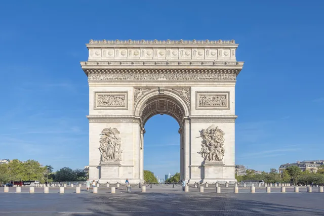
 A ≈ 15 min di distanzaArco di Trionfo
- Distanza
- 1 km
 TravelHub
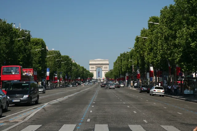
Residents treat the broad thoroughfare as a transit spine rather than a neighborhood hub, ducking into quiet adjoining side streets to find grocery markets and daily bakeries away from the tourist crush.
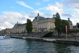 Museo d'Orsay
 Arco di Trionfo
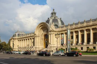 Petit Palais
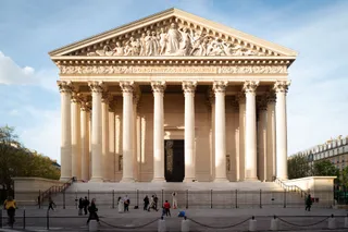 chiesa della Madeleine
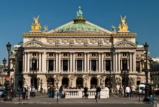 Opéra Garnier
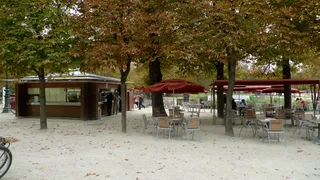 giardino delle Tuileries
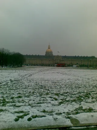 Hôtel des Invalides
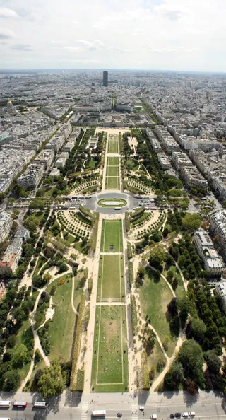 Campo di Marte
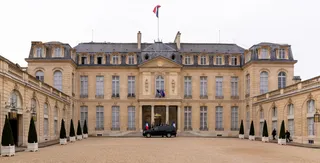 Palazzo dell'Eliseo
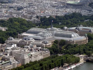 Grand Palais
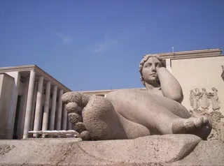 Musée d'Art Moderne de la Ville de Paris
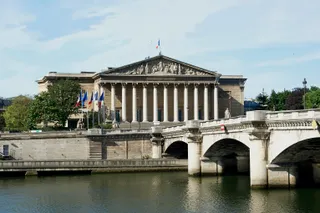 Palazzo Borbone
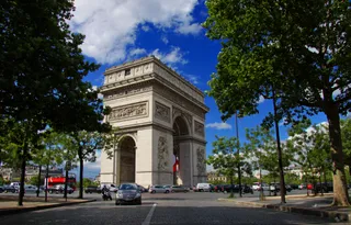 place Charles-de-Gaulle
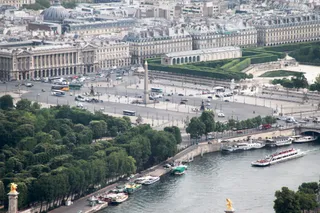 place de la Concorde
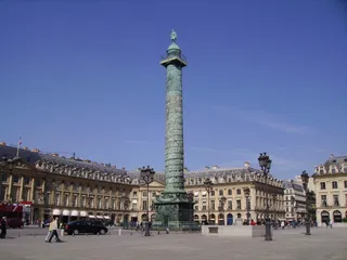 place Vendôme
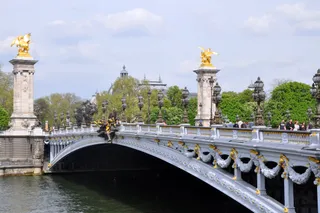 ponte Alessandro III
 Musée Rodin
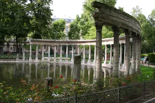 Parc Monceau
The avenue links Place de la Concorde to Place Charles de Gaulle beneath the Arc de Triomphe. Flagship luxury stores, exhibition spaces, and historic theatres line the upper stretch, drawing heavy international foot traffic. The roadway hosts the annual Bastille Day military parade and marks the traditional finish of the Tour de France cycling race, bringing massive street closures and public celebrations.
Vegetable plots and open fields covered this ground until landscape architect André Le Nôtre extended the Tuileries gardens with a tree-lined promenade. Later redesigns replaced damaged elm rows with chestnuts and shifted formal French flowerbeds into winding English parkland. City ownership brought public gas lamps, ornamental fountains, and pavilions that established the corridor as an outdoor gathering place.
Underground transit connects the thoroughfare directly across the capital through several consecutive stations, including Concorde, Franklin D. Roosevelt, and Charles de Gaulle – Étoile. Daily living requires stepping off the avenue into quieter lateral quarters, where neighborhood bakeries and markets operate behind grand stone facades away from corporate retail flagships and continuous commuter crowds.
A ≈ 15 min di distanzaArco di Trionfo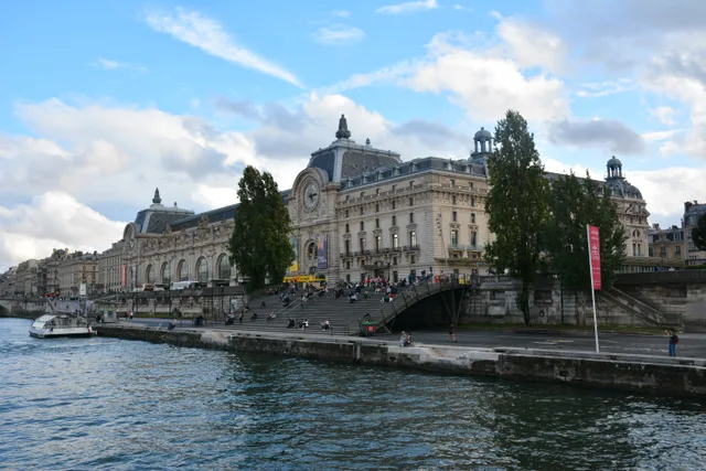 A ≈ 25 min di distanzaMuseo d'Orsay
Non trovi il posto che cerchi? La funzione di ricerca comprende qualsiasi lingua. Apri ricerca