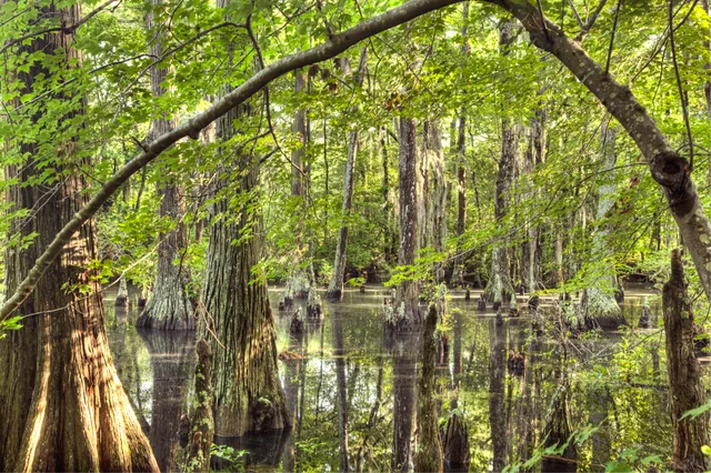
 ≈ 30 ր հեռավորության վրաFirst Landing State Park
- Հեռավորությունը
- 2,3 կմ
 TravelHub
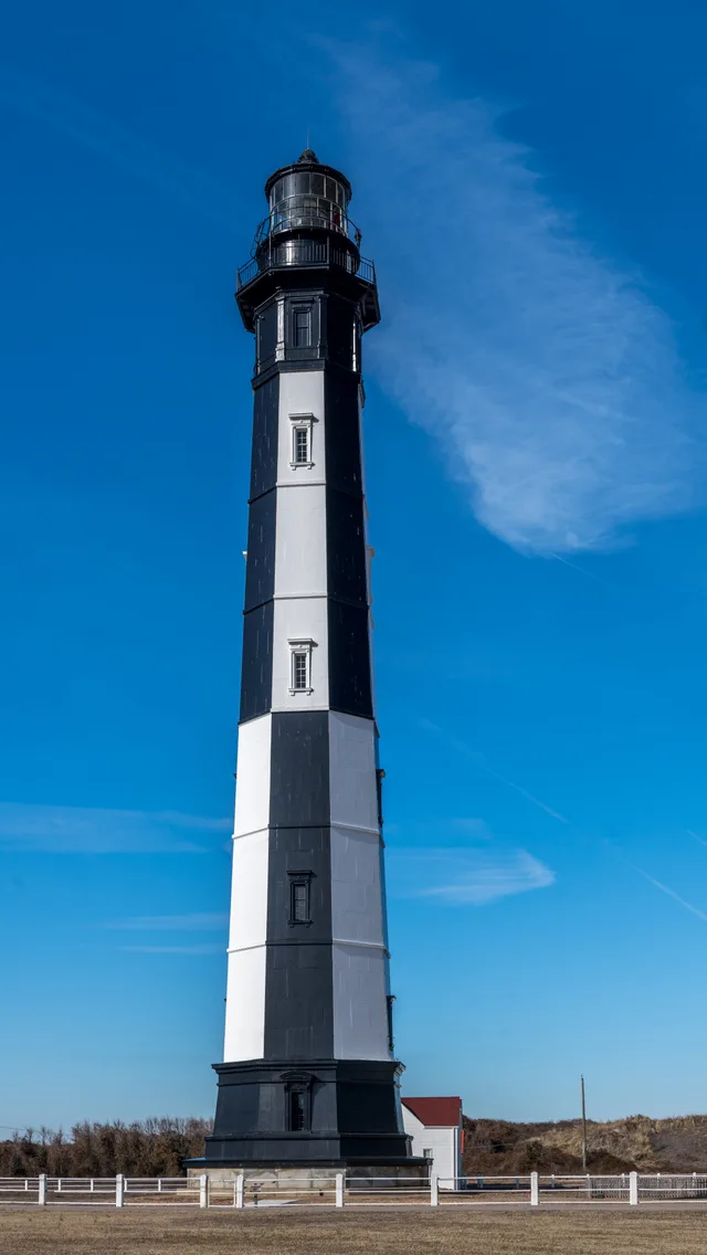
Residents beside Cape Henry trade quiet evenings for the continuous procession of ocean freighters steering into the bay past the twin coastal towers.
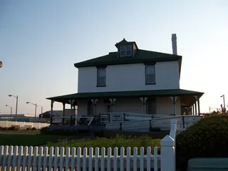 Atlantic Wildfowl Heritage Museum
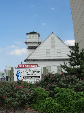 Old Coast Guard Station
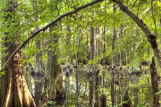 First Landing State ParkDe Witt Cottage
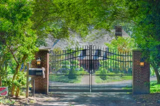 Briarwood
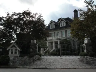 Dr. John Miller-Masury House
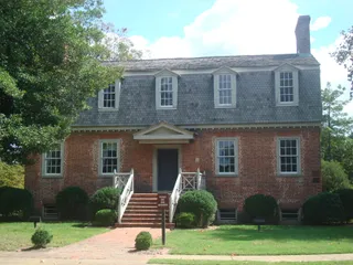 Francis Land House
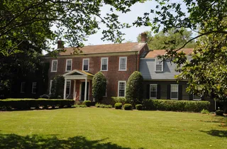 Green Hill (Virginia Beach, Virginia)
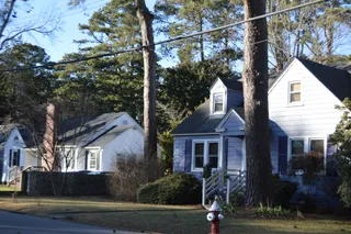 Oceana Neighborhood Historic District
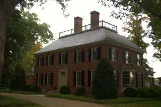 Shirley Hall
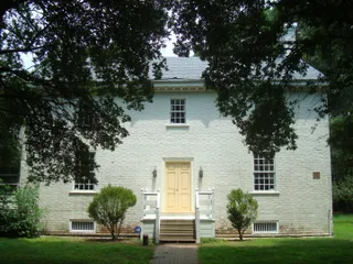 Upper Wolfsnare
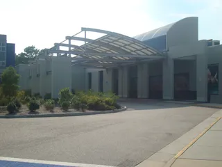 Virginia Aquarium and Marine Science Centers
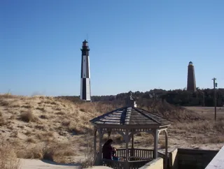 Cape Henry Memorial
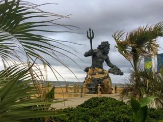 King Neptune Statue
 Norwegian Lady
Federal authorities commissioned the original beacon as their earliest public project under the Constitution to guide maritime vessels into Chesapeake Bay. Architect John McComb Jr. shaped the tower from Aquia sandstone and brownstone, adapting Cape Henlopen Light. During the Civil War, Confederate troops disabled the lantern until Union forces recovered the lens to secure navigation toward Fort Monroe.
Safety inspections eventually revealed structural fractures spreading across the sandstone tower faces, prompting the erection of a taller replacement beacon nearby. Rather than demolishing the compromised tower, maritime officials retained the stone landmark as an unlit daymark and triangulation point. Both structures now form a recognized National Historic Landmark, where automated signals continue to guide ocean shipping.
Ինչ են գրում այցելուները Google Maps-ում
Google Maps-ի վարկանիշն ու թարմ կարծիքները կբեռնվեն ըստ պահանջի։
≈ 30 ր հեռավորության վրաFirst Landing State Park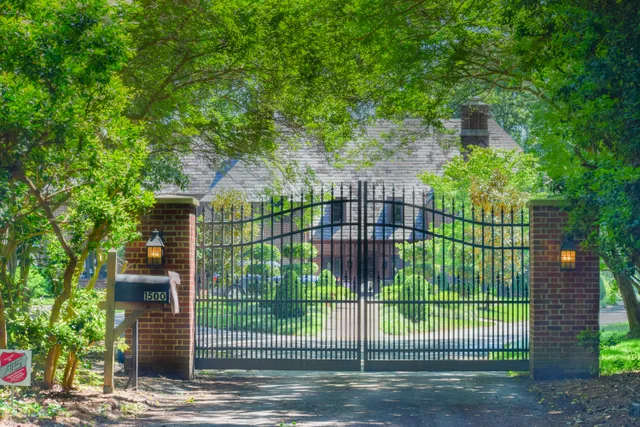 ≈ 30 ր հեռավորության վրաBriarwood
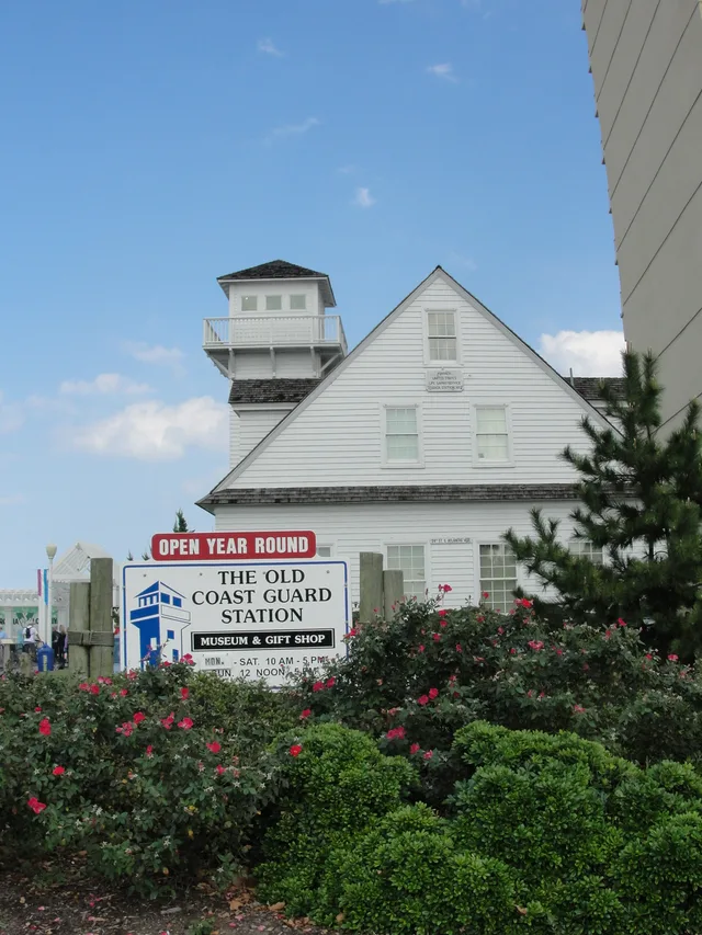 ≈ 30 ր հեռավորության վրաThe Old Coast Guard Station
Չե՞ք գտնում անհրաժեշտ վայրը: Որոնումը հասկանում է ցանկացած լեզու: Բացել որոնումը