Saltar al contenido
TravelHub
Kalamariá · Grecia

Puerto de Tesalónica: qué hay cerca, cómo llegar y cuándo ir · 2026

Settling next to the commercial harbor shifts your daily rhythm around heavy rail corridors and round-the-clock shipping operations.

Mapa de lugares
Ahora en la ciudadPuerto de Tesalónicahora local en el destinoQué hay cerca1
Tipo de cambio0,89 €por 1 $EUR — la moneda del paísa fecha de 3 nov 2026
Cargando el mapa

Qué hay alrededor1

Sobre el lugar

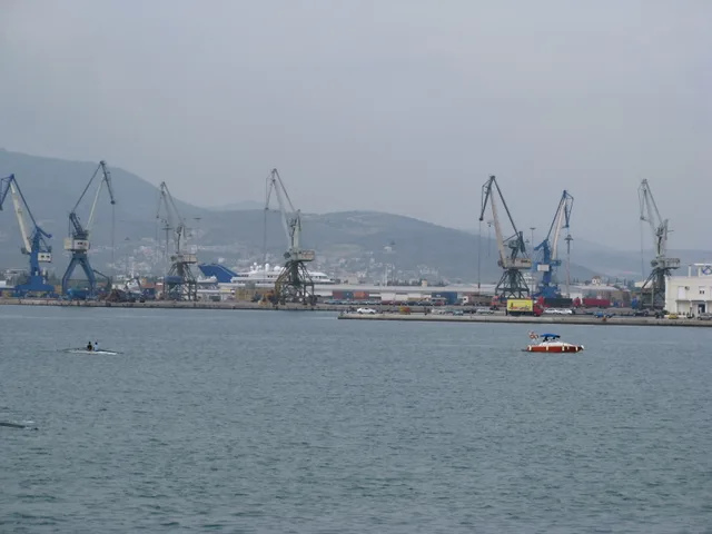
Commercial freight dominates the waterfront, connecting maritime trade with continental rail corridors.

The harbor functions as the primary maritime gateway for Southeastern, Central, and Eastern Europe. Connected directly to Trans-European motorway corridors and continental rail networks, the facility processes both container shipments and conventional bulk cargo. ThPA S.A. manages operations under an Athens Stock Exchange listing, providing intermodal rail freight connections that run straight into surrounding landlocked economies.

Seguir leyendo

Beyond cargo handling, the complex maintains an authorized free customs zone operating under specialized tax legislation and Authorised Economic Operator certification. Passenger terminals accommodate scheduled ferry routes alongside international cruise liners. Daily movement around the quays creates steady commercial transport activity, which defines the maritime district and separates industrial logistics from residential life.

Asociaciones
  • Intermodal freightRail and road connections move container cargo inland directly from docks.
  • Free customs zoneOperates with Authorised Economic Operator status under specific tax rules.
  • Passenger trafficTerminals handle international cruise vessels and regular ferry routes.
  • Heavy transport noiseFreight trucks and rail freight generate persistent traffic around the docks.
Datos
  • ThPA S.A. oversees cargo logistics and is publicly traded on the Athens Stock Exchange.
  • The complex holds Authorised Economic Operator certification for its customs free zone.
  • Rail freight services link dockside terminals directly with Trans-European transport networks.
  • The harbor accommodates passenger travel through scheduled ferry lines and visiting cruise ships.
Fuente: Wikipedia
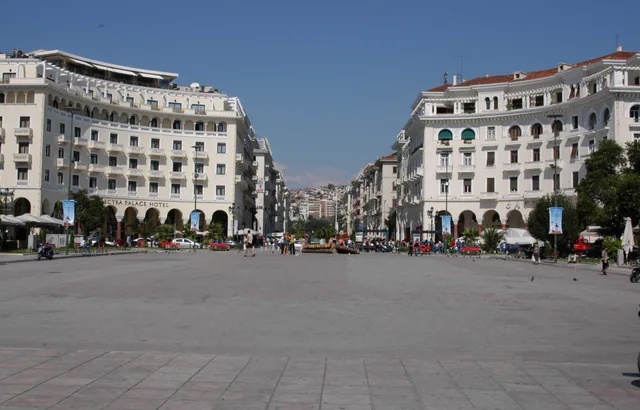
Puerto de Tesalónica en imágenes3 fotos
Yair Haklai · cc-by-sa-4.0 · 19 oct 2008
— ArielR 15:25, 3 May 2006 (UTC) · cc-by-sa-3.0 · 1 abr 2006
DoD photo by Chief Warrant Officer Seth Rossman, U.S. Navy. (Released) · pdm · 15 jul 1999

Cómo llegar y dónde quedarse

2 fuentes · A fecha de 4 de noviembre de 2026
Fuente: TravelHub · OurAirports (public domain)