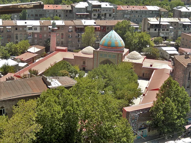
 A ≈ 40 min de distanciaMezquita Azul
- Distancia
- 3,1 km
 TravelHub
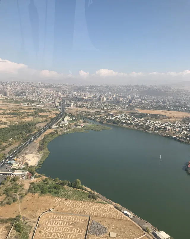
Residents settling near the waterfront trade quick central transit for open lakeside paths and cooler summer air, though daily commuting relies heavily on the airport highway corridor.
Built to regulate river surges and supply surrounding irrigation networks, the reservoir splits the southwestern districts into distinct urban zones. Reinforced concrete embankments frame walking paths, a dedicated rowing school, and community athletic academies. Recent municipal landscaping added modern recreational grounds, while artificial beaches and summer water fountains draw neighborhood crowds during hot weather.
Long-term residents benefit from a cooler local microclimate that takes the edge off severe summer heatwaves. Gulls, storks, and grebes nest across the water, which rarely freezes even during harsh winters. Beneath the surface lie submerged settlement ruins and ancient stone irrigation canals, while nearby canyon caves yielded prehistoric stone tools that now sit in capital museum collections.
Major diplomatic and transport corridors define the northern shoreline, where a sprawling foreign embassy campus borders the primary highway to the international airport. Across the water, historical bridges and quiet green orchards border municipal sports arenas. Daily life requires navigating heavy vehicle corridors, making the paved lakefront one of the few open pedestrian spaces in this sector.
Aún no hay anfitriones de alojamiento gratuito aquí; la ciudad más cercana que los tiene:
SochiLo que escriben los visitantes en Google Maps
La valoración y las reseñas recientes de Google Maps se cargan a petición.
A ≈ 40 min de distanciaMezquita Azul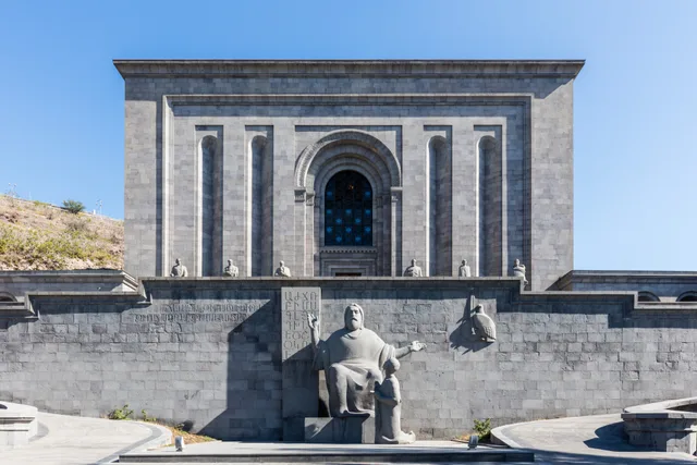 A ≈ 25 min de distanciaMatenadaran
¿No encuentras el lugar que necesitas? La búsqueda entiende cualquier idioma. Abrir búsqueda