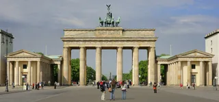
 ≈ 25 λ. μακριάΠύλη του Βρανδεμβούργου
- Απόσταση
- 2 χλμ.
 TravelHub
Cyclists commuting between Charlottenburg and Mitte rely on this paved avenue through Tiergarten, though frequent weekend closures for marathons and public rallies regularly push daily traffic onto parallel neighborhood detours.
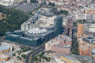
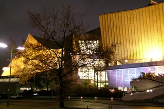
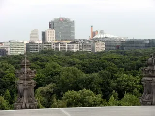
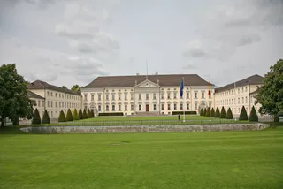
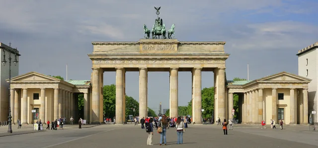
The boulevard forms the direct western extension of Unter den Linden, cutting straight across the wooded grounds of Tiergarten. Traffic departs the Brandenburg Gate, passes the Soviet War Memorial, loops around the Victory Column at the central roundabout, and passes through Charlottenburg Gate before terminating at Ernst-Reuter-Platz, where the road continues west as Bismarckstraße.
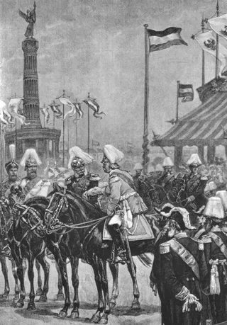
Paved originally as Charlottenburger Chaussee to link the urban core with western suburbs, the avenue underwent drastic widening that relocated the Victory Column from the Reichstag. When city airfields became unusable at the end of the war, the strip functioned as an emergency runway. West Berlin authorities eventually renamed the roadway to commemorate striking East German workers who died protesting labor quotas.
The broad thoroughfare hosts the city's largest gatherings, providing the staging grounds for the Berlin Marathon and accommodating vast crowds around the Brandenburg Gate on New Year's Eve. For residents in adjacent districts, frequent staging of mass festivals closes vehicle lanes and reroutes buses for weeks at a time, forcing neighborhood traffic into long detours around the perimeter of Tiergarten.
Τι γράφουν οι επισκέπτες στους Χάρτες Google
Η βαθμολογία και οι πρόσφατες κριτικές από τους Χάρτες Google φορτώνουν κατόπιν αιτήματος.
≈ 25 λ. μακριάΠύλη του Βρανδεμβούργου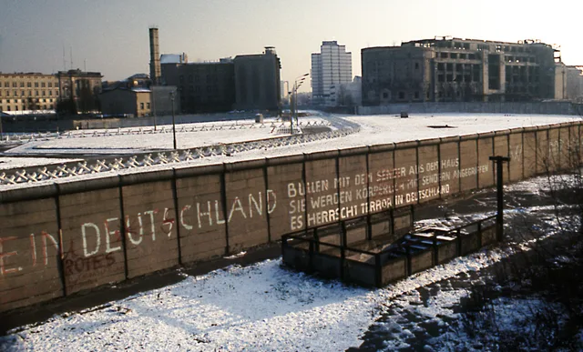 ≈ 30 λ. μακριάΤείχος του Βερολίνου
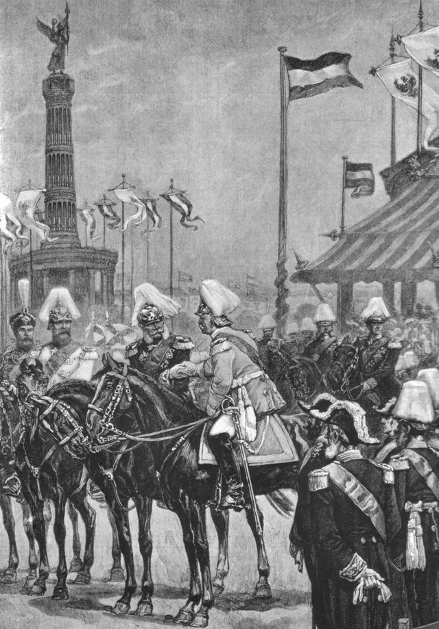 ≈ 5 λ. μακριάΣτήλη Νίκης του Βερολίνου
Δεν βρίσκετε το μέρος που ψάχνετε; Η αναζήτηση κατανοεί οποιαδήποτε γλώσσα. Άνοιγμα αναζήτησης