
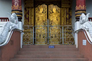
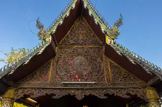
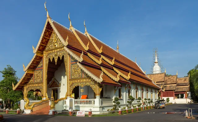
 ≈ 10 Min. entferntWat Phra Sing
- Entfernung
- 800 m
 TravelHub
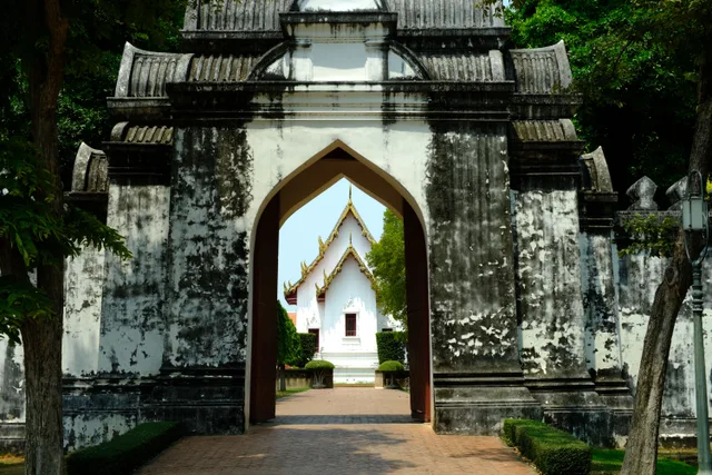
Residents along the moat navigate continuous ring traffic whenever crossing between the ancient perimeter and outer districts.
Chiang Mai city wall marks the perimeter of the historic settlement, separating the inner temple district from outer commercial neighborhoods. The surviving brick ramparts and water moat establish the street grid that shapes movement across the centre. Residents use the preserved corners and gates as primary navigational landmarks.
Daily routines run against the boundary constantly because traffic circulates along strict clockwise corridors flanking the water channel. Crossing from quiet interior residential alleys to outer work hubs involves slow circuits around corner bastions. Pedestrians encounter narrow walkways, while scooter riders face continuous flow.
Hier gibt es noch keine Gastgeber für kostenlose Unterkünfte – die nächstgelegene Stadt mit ihnen:
Bangkok≈ 10 Min. entferntWat Phra SingOrt nicht gefunden? Die Suche versteht jede Sprache. Suche öffnen