Zum Inhalt springen
TravelHub
Ramallah · Palästina

Israelische Sperranlagen: was in der Nähe ist, wie man hinkommt und wann man fährt · 2026

Residents in Ramallah organize daily transit around physical barriers and checkpoints that determine access across municipal lines.

Über den Ort
Über den Ort

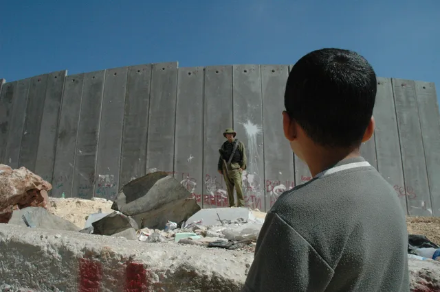
Physical barricades and perimeter structures demarcate the boundary zones surrounding Palestinian communities.

The separation barrier consists of concrete walls, fences, and patrol tracks erected across parts of the West Bank and adjacent border lines. Israeli authorities established the perimeter as a defensive measure against external political violence. Palestinian residents and international observers characterize the physical division as an apparatus of institutional segregation that fragments contiguous municipal areas.

Weiterlesen

Navigating daily routines near the perimeter involves encountering fortified checkpoints, restricted corridors, and enclosed enclaves. The route diverges from historical armistice lines to carve deep into regional terrain, severing traditional transit connections between urban centers and agricultural tracts. Long-term stays require adjusting to structural travel delays and sudden closures throughout the surrounding landscape.

Verbände
  • Separation WallMassive concrete slabs dividing municipal and rural zones.
  • CheckpointsSecurity crossings regulate movement between neighboring areas.
  • Green LineHistorical boundary from which the physical barrier deviates.
  • Apartheid WallPalestinian designation emphasizing systemic physical segregation.
Fakten
  • The barrier route extends beyond the Green Line into West Bank territory rather than following the boundary exclusively.
  • Israeli official policy identifies the structure as a security measure against political violence.
  • Palestinian communities designate the physical structure as a wall of apartheid and racial segregation.
  • The alignment of the barrier isolates rural land tracts and local populations from surrounding Palestinian areas.
Quelle: Wikipedia
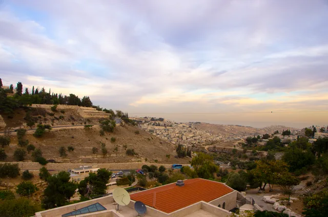
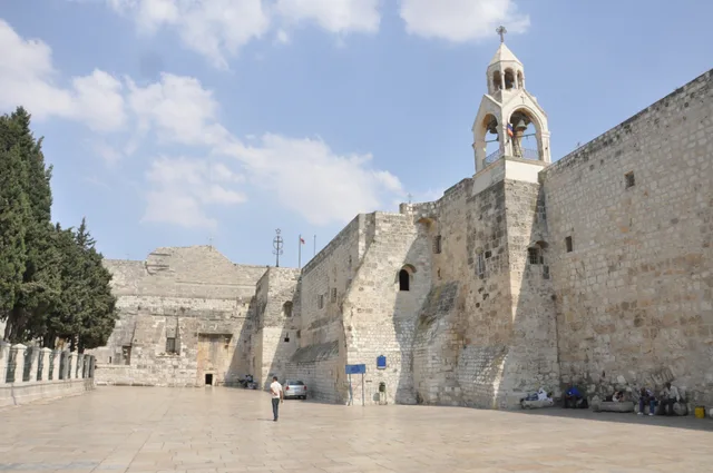
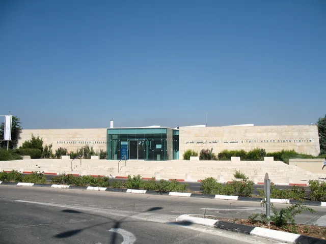
Israelische Sperranlagen in Bildern4 Fotos
Picture taken by Justin McIntosh · cc-by-2.0 · 01.08.2004
No machine-readable author provided. Tareqhs~commonswiki assumed (based on copyright claims). · cc-by-sa-3.0 · 17.04.2007
Rebecca Manski · cc-by-sa-3.0 · 01.02.2006
Minamie's Photo · cc-by-2.0 · 10.10.2008

Anreise und Unterkunft

2 Quellen · Stand: 4. November 2026
Quelle: TravelHub · OurAirports (public domain)