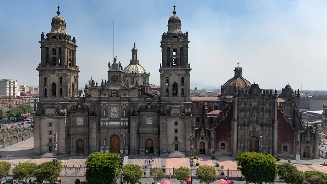
 ≈ 5 Min. entferntKathedrale von Mexiko-Stadt
- Entfernung
- 200 m
 TravelHub
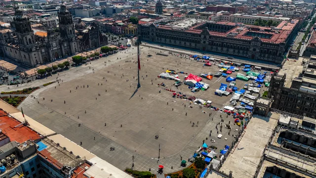
Residents living beside the plaza trade quiet mornings for cathedral bells, government processions, and massive public parades that regularly fill the stone expanse.
Long before European planners cleared the colonial square, the ground formed an open concourse near the sacred Aztec temple precinct. Spanish surveyors established the current layout atop the junction of ancient causeways that connected the island capital to mainland shores. Hernán Cortés directed construction of the main cathedral over sacred grounds, while colonial palaces replaced the residences of Aztec rulers along the perimeter.
Arcaded merchant portals and municipal halls framed the southern and western edges, but severe inundations constantly disrupted trade. Deep floodwaters wrecked colonial storefronts and forced authorities to draft indigenous laborers for a massive regional drainage project. Even after waters receded, dense networks of makeshift market stalls dominated the paving until civil unrest prompted civic officials to clear the space.
Today the vast open stone surface, officially designated Plaza de la Constitución, functions as the primary platform for mass civic spectacles. Film production staged an elaborate Day of the Dead procession across the square, inspiring municipal leaders to institute an annual autumn parade along the same route. Daily life here requires adjusting to constant public ceremonies, political assemblies, and sudden transport detours.
≈ 5 Min. entferntKathedrale von Mexiko-Stadt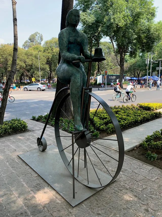 ≈ 25 Min. entferntNationalmuseum für Anthropologie
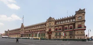
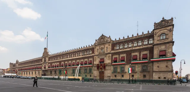 ≈ 5 Min. entferntPalacio Nacional
Ort nicht gefunden? Die Suche versteht jede Sprache. Suche öffnen