 ≈ 3 saat 55 dəq məsafədəDuala
- Ay
- ≈ 870 $
- Məsafə
- 521 km
 TravelHub
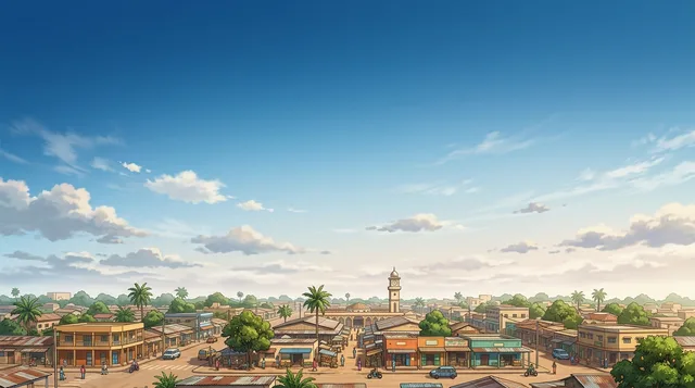
Field researchers stage all supply lines out of Souanké to navigate the dense northern forests.
Mont Nabemba rises as the peak elevation point across the Republic of the Congo. The summit anchors the remote northern ridge of the Sangha Department. Dense equatorial forest surrounds the entire massif, leaving the area without standard municipal infrastructure. Field expeditions organize provisions through Souanké before entering the backcountry.
Extended field stays in this part of Sangha require complete logistical self-reliance. Heavy rainfall and thick jungle canopy complicate navigation, while local settlements maintain minimal supply stockpiles. Field personnel conducting research or operations must secure independent power, satellite communication, and dedicated local guidance.
≈ 3 saat 55 dəq məsafədəDuala ≈ 3 saat 55 dəq məsafədəLibrevil
 ≈ 4 saat məsafədəBimbo
Axtardığınız yeri tapa bilmirsiniz? Axtarış sistemi istənilən dildə başa düşür. Axtarışı aç